Distance to Angora, Minnesota

Calculating Your Route
Just a moment while we process your request...
Location Information
-
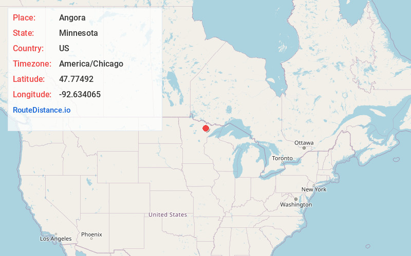
Full AddressAngora, MN 55703
-
Coordinates47.7749204, -92.6340652
-
LocationAngora , Minnesota , US
-
TimezoneAmerica/Chicago
-
Current Local Time1:16:06 PM America/ChicagoWednesday, June 18, 2025
-
Page Views0
About Angora
Angora is an unincorporated community in Angora Township, Saint Louis County, Minnesota, United States.
The community is located six miles south of Cook at the intersection of State Highway 1 and Saint Louis County Road 430. U.S. Highway 53 is nearby.
County Road 952 is also in the area.
Nearby Places
Found 10 places within 50 miles

Cook
5.9 mi
9.5 km
Cook, MN 55723
Get directions

Wakemup
10.3 mi
16.6 km
Wakemup, MN 55723
Get directions
Linden Grove
12.5 mi
20.1 km
Linden Grove, MN 55723
Get directions
Peyla
12.6 mi
20.3 km
Peyla, MN 55790
Get directions

Mountain Iron
16.8 mi
27.0 km
Mountain Iron, MN
Get directions

Tower
16.8 mi
27.0 km
Tower, MN 55790
Get directions

Virginia
18.0 mi
29.0 km
Virginia, MN
Get directions
Kinney
18.6 mi
29.9 km
Kinney, MN
Get directions

Soudan
18.6 mi
29.9 km
Soudan, MN
Get directions

Buhl
20.6 mi
33.2 km
Buhl, MN
Get directions
Location Links
Local Weather
Weather Information
Coming soon!
Location Map
Static map view of Angora, Minnesota
Browse Places by Distance
Places within specific distances from Angora
Short Distances
Long Distances
Click any distance to see all places within that range from Angora. Distances shown in miles (1 mile ≈ 1.61 kilometers).