Distance to and from Angora, Nebraska
Angora, NE
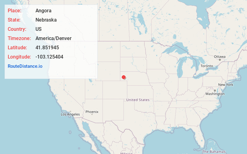
Angora
Nebraska
US
America/Denver
Location Information
-
Full AddressAngora, NE
-
Coordinates41.8519446, -103.1254038
-
LocationAngora , Nebraska , US
-
TimezoneAmerica/Denver
-
Current Local Time3:43:45 PM America/DenverSaturday, May 3, 2025
-
Page Views0
Directions to Nearest Cities
About Angora
Angora is an unincorporated community in northern Morrill County, Nebraska, United States. It lies along U.S. Route 385, north of the city of Bridgeport, the county seat of Morrill County.


Nearby Places
Found 10 places within 50 miles

Bonner
8.1 mi
13.0 km
Bonner, NE 69331
Get directions
Kemp
9.6 mi
15.4 km
Kemp, North Camp Clarke Precinct, NE 69336
Get directions
Atkins
10.0 mi
16.1 km
Atkins, NE 69336
Get directions
Northport
11.9 mi
19.2 km
Northport, North Camp Clarke Precinct, NE 69336
Get directions

Bayard
12.2 mi
19.6 km
Bayard, NE 69334
Get directions

Bridgeport
13.0 mi
20.9 km
Bridgeport, NE 69336
Get directions
South Bayard
13.8 mi
22.2 km
South Bayard, West Bayard Precinct, NE 69334
Get directions
Tony
14.0 mi
22.5 km
Tony, Highland Precinct, NE 69356
Get directions
Letan
14.7 mi
23.7 km
Letan, Eleven Precinct, NE 69301
Get directions

McGrew
16.7 mi
26.9 km
McGrew, NE
Get directions
Bonner
8.1 mi
13.0 km
Bonner, NE 69331
Kemp
9.6 mi
15.4 km
Kemp, North Camp Clarke Precinct, NE 69336
Atkins
10.0 mi
16.1 km
Atkins, NE 69336
Northport
11.9 mi
19.2 km
Northport, North Camp Clarke Precinct, NE 69336
Bayard
12.2 mi
19.6 km
Bayard, NE 69334
Bridgeport
13.0 mi
20.9 km
Bridgeport, NE 69336
South Bayard
13.8 mi
22.2 km
South Bayard, West Bayard Precinct, NE 69334
Tony
14.0 mi
22.5 km
Tony, Highland Precinct, NE 69356
Letan
14.7 mi
23.7 km
Letan, Eleven Precinct, NE 69301
McGrew
16.7 mi
26.9 km
McGrew, NE
Location Links
Local Weather
Weather Information
Coming soon!
Location Map
Static map view of Angora, Nebraska
Browse Places by Distance
Places within specific distances from Angora
Short Distances
Long Distances
Click any distance to see all places within that range from Angora. Distances shown in miles (1 mile ≈ 1.61 kilometers).