Distance to Angus, Wisconsin

Calculating Your Route
Just a moment while we process your request...
Location Information
-
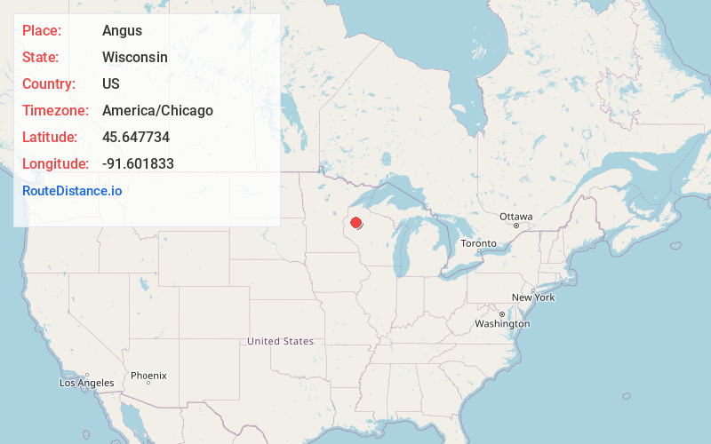
Full AddressAngus, WI 54817
-
Coordinates45.6477335, -91.6018325
-
LocationAngus , Wisconsin , US
-
TimezoneAmerica/Chicago
-
Current Local Time8:50:05 AM America/ChicagoFriday, May 23, 2025
-
Page Views0
About Angus
Angus is an unincorporated community in the town of Cedar Lake, Barron County, Wisconsin, United States. Angus is located on Wisconsin Highway 48 2.5 miles southwest of Birchwood.
Nearby Places
Found 10 places within 50 miles

Birchwood
2.3 mi
3.7 km
Birchwood, WI 54817
Get directions

Brill
4.6 mi
7.4 km
Brill, WI 54868
Get directions

Nobleton
5.1 mi
8.2 km
Nobleton, WI 54870
Get directions
Wooddale
7.3 mi
11.7 km
Wooddale, WI 54817
Get directions

Haugen
8.8 mi
14.2 km
Haugen, WI
Get directions
Edgewater
8.9 mi
14.3 km
Edgewater, WI 54817
Get directions
Yarnell
10.4 mi
16.7 km
Yarnell, WI 54817
Get directions
Horseman
10.8 mi
17.4 km
Horseman, WI 54868
Get directions

Rice Lake
11.8 mi
19.0 km
Rice Lake, WI
Get directions
Hauer
12.7 mi
20.4 km
Hauer, Sand Lake, WI 54876
Get directions
Location Links
Local Weather
Weather Information
Coming soon!
Location Map
Static map view of Angus, Wisconsin
Browse Places by Distance
Places within specific distances from Angus
Short Distances
Long Distances
Click any distance to see all places within that range from Angus. Distances shown in miles (1 mile ≈ 1.61 kilometers).