Distance to Anita, Iowa

Calculating Your Route
Just a moment while we process your request...
Location Information
-
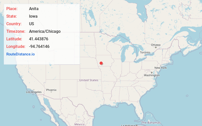
Full AddressAnita, IA 50020
-
Coordinates41.4438761, -94.764146
-
LocationAnita , Iowa , US
-
TimezoneAmerica/Chicago
-
Current Local Time7:07:50 AM America/ChicagoThursday, July 3, 2025
-
Page Views0
About Anita
Anita is a city in Cass County, Iowa, United States, platted in 1869 and incorporated in 1875. The population was 963 at the 2020 census. Lake Anita State Park is located just outside the town.


Nearby Places
Found 10 places within 50 miles

Atlantic
13.2 mi
21.2 km
Atlantic, IA 50022
Get directions

Greenfield
18.4 mi
29.6 km
Greenfield, IA 50849
Get directions

Audubon
20.8 mi
33.5 km
Audubon, IA 50025
Get directions

Guthrie Center
21.0 mi
33.8 km
Guthrie Center, IA
Get directions

Stuart
23.4 mi
37.7 km
Stuart, IA 50250
Get directions

Walnut
23.8 mi
38.3 km
Walnut, IA 51577
Get directions

Griswold
24.2 mi
38.9 km
Griswold, IA 51535
Get directions

Panora
26.9 mi
43.3 km
Panora, IA 50216
Get directions

Avoca
29.8 mi
48.0 km
Avoca, IA 51521
Get directions
Coon Rapids
29.8 mi
48.0 km
Coon Rapids, IA 50058
Get directions
Location Links
Local Weather
Weather Information
Coming soon!
Location Map
Static map view of Anita, Iowa
Browse Places by Distance
Places within specific distances from Anita
Short Distances
Long Distances
Click any distance to see all places within that range from Anita. Distances shown in miles (1 mile ≈ 1.61 kilometers).