Distance to Annandale, Virginia

Calculating Your Route
Just a moment while we process your request...
Location Information
-
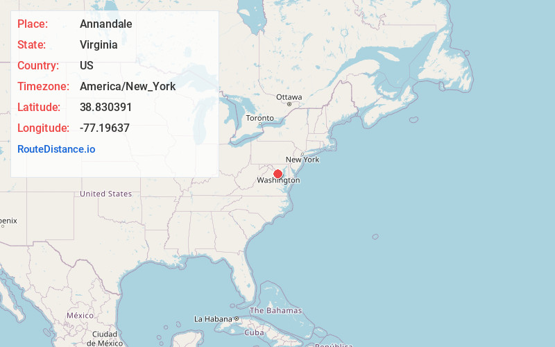
Full AddressAnnandale, VA
-
Coordinates38.8303905, -77.1963703
-
LocationAnnandale , Virginia , US
-
TimezoneAmerica/New_York
-
Current Local Time1:29:17 AM America/New_YorkWednesday, June 4, 2025
-
Page Views0
About Annandale
Annandale is a census-designated place in Fairfax County, Virginia. The population of the CDP was 43,363 as of the 2020 United States census. It is home to the oldest and largest branch of the Northern Virginia Community College system, and to one of the D.C. area's Koreatowns.


Nearby Places
Found 10 places within 50 miles

Burke
4.8 mi
7.7 km
Burke, VA
Get directions

McLean
7.2 mi
11.6 km
McLean, VA
Get directions

Arlington National Cemetery
7.5 mi
12.1 km
Arlington National Cemetery, Arlington, VA
Get directions

Alexandria
8.4 mi
13.5 km
Alexandria, VA
Get directions

Washington
10.1 mi
16.3 km
Washington, DC
Get directions

Bethesda
12.0 mi
19.3 km
Bethesda, MD
Get directions

Woodbridge
12.2 mi
19.6 km
Woodbridge, VA 22191
Get directions

Reston
12.4 mi
20.0 km
Reston, VA
Get directions

Centreville
12.5 mi
20.1 km
Centreville, VA
Get directions

Potomac
13.0 mi
20.9 km
Potomac, MD
Get directions
Location Links
Local Weather
Weather Information
Coming soon!
Location Map
Static map view of Annandale, Virginia
Browse Places by Distance
Places within specific distances from Annandale
Short Distances
Long Distances
Click any distance to see all places within that range from Annandale. Distances shown in miles (1 mile ≈ 1.61 kilometers).