Distance to Ansted, West Virginia

Calculating Your Route
Just a moment while we process your request...
Location Information
-
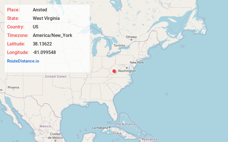
Full AddressAnsted, WV 25812
-
Coordinates38.1362201, -81.0995479
-
LocationAnsted , West Virginia , US
-
TimezoneAmerica/New_York
-
Current Local Time5:26:42 AM America/New_YorkWednesday, June 18, 2025
-
Page Views0
About Ansted
Ansted is a town in Fayette County in the U.S. state of West Virginia. The population was 1,404 at the 2010 census. It is situated on high bluffs along U.S. Route 60 on a portion of the Midland Trail near Hawks Nest overlooking the New River far below.


Nearby Places
Found 10 places within 50 miles

Fayetteville
5.8 mi
9.3 km
Fayetteville, WV
Get directions

Oak Hill
11.6 mi
18.7 km
Oak Hill, WV
Get directions

Montgomery
12.8 mi
20.6 km
Montgomery, WV 25136
Get directions

Summersville
16.7 mi
26.9 km
Summersville, WV 26651
Get directions

Bradley
19.4 mi
31.2 km
Bradley, WV 25880
Get directions
Prosperity
21.4 mi
34.4 km
Prosperity, WV
Get directions

Rainelle
21.5 mi
34.6 km
Rainelle, WV 25962
Get directions
Stanaford
22.4 mi
36.0 km
Stanaford, WV 25801
Get directions

Chesapeake
24.5 mi
39.4 km
Chesapeake, WV
Get directions

Belle
24.7 mi
39.8 km
Belle, WV 25015
Get directions
Location Links
Local Weather
Weather Information
Coming soon!
Location Map
Static map view of Ansted, West Virginia
Browse Places by Distance
Places within specific distances from Ansted
Short Distances
Long Distances
Click any distance to see all places within that range from Ansted. Distances shown in miles (1 mile ≈ 1.61 kilometers).