Distance to Antonito, Colorado

Calculating Your Route
Just a moment while we process your request...
Location Information
-
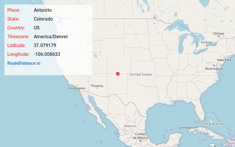
Full AddressAntonito, CO 81120
-
Coordinates37.079179, -106.0086329
-
LocationAntonito , Colorado , US
-
TimezoneAmerica/Denver
-
Current Local Time3:36:51 AM America/DenverWednesday, June 18, 2025
-
Page Views0
About Antonito
Antonito is a statutory town located in Conejos County, Colorado, United States. The town population was 647 at the 2020 United States census.


Nearby Places
Found 10 places within 50 miles

Manassa
7.6 mi
12.2 km
Manassa, CO
Get directions

Sanford
13.6 mi
21.9 km
Sanford, CO 81151
Get directions

La Jara
13.8 mi
22.2 km
La Jara, CO 81140
Get directions

Alamosa
28.0 mi
45.1 km
Alamosa, CO 81101
Get directions
Alamosa East
28.4 mi
45.7 km
Alamosa East, CO 81101
Get directions

Monte Vista
35.4 mi
57.0 km
Monte Vista, CO 81144
Get directions

Black Rock Hot Springs
41.3 mi
66.5 km
Black Rock Hot Springs, New Mexico 87529
Get directions

Del Norte
45.5 mi
73.2 km
Del Norte, CO 81132
Get directions

Arroyo Seco
45.8 mi
73.7 km
Arroyo Seco, NM
Get directions

Center
46.9 mi
75.5 km
Center, CO 81125
Get directions
Location Links
Local Weather
Weather Information
Coming soon!
Location Map
Static map view of Antonito, Colorado
Browse Places by Distance
Places within specific distances from Antonito
Short Distances
Long Distances
Click any distance to see all places within that range from Antonito. Distances shown in miles (1 mile ≈ 1.61 kilometers).