Distance to Apache Springs, New Mexico

Calculating Your Route
Just a moment while we process your request...
Location Information
-
Full AddressApache Springs, NM 87701
-
Coordinates35.3722688, -105.1930606
-
LocationApache Springs , New Mexico , US
-
TimezoneAmerica/Denver
-
Current Local Time1:37:21 PM America/DenverSunday, June 22, 2025
-
Page Views0
Nearby Places
Found 10 places within 50 miles

Lagunita
2.9 mi
4.7 km
Lagunita, NM 87701
Get directions
Los Montoyas
3.4 mi
5.5 km
Los Montoyas, NM 87701
Get directions
Chapelle
5.8 mi
9.3 km
Chapelle, NM 87701
Get directions
Serafina
7.6 mi
12.2 km
Serafina, NM 87701
Get directions
La Liendre
8.7 mi
14.0 km
La Liendre, NM 87701
Get directions
Sheridan
9.0 mi
14.5 km
Sheridan, NM 87701
Get directions
Ojita
9.2 mi
14.8 km
Ojita, NM 87701
Get directions
Tecolotito Diversion Dam
9.4 mi
15.1 km
Tecolotito Diversion Dam, Anton Chico, NM 87711
Get directions
El Cerrito
9.5 mi
15.3 km
El Cerrito, NM 87569
Get directions
Upper Anton Chico
11.4 mi
18.3 km
Upper Anton Chico, NM 87711
Get directions
Location Links
Local Weather
Weather Information
Coming soon!
Location Map
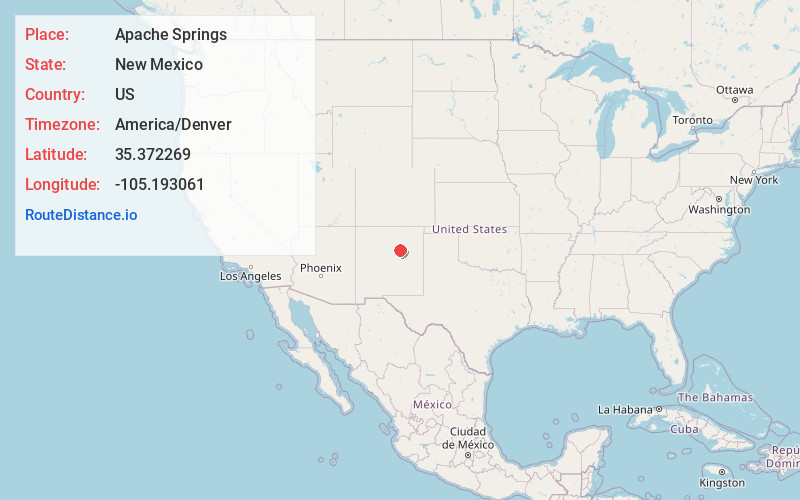
Static map view of Apache Springs, New Mexico
Browse Places by Distance
Places within specific distances from Apache Springs
Short Distances
Long Distances
Click any distance to see all places within that range from Apache Springs. Distances shown in miles (1 mile ≈ 1.61 kilometers).