Distance to Appleton, Ohio

Calculating Your Route
Just a moment while we process your request...
Location Information
-
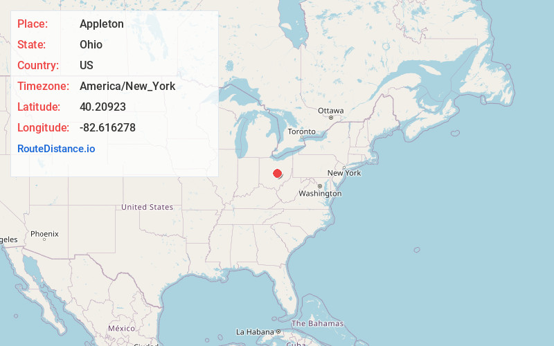
Full AddressAppleton, OH 43031
-
Coordinates40.2092298, -82.616278
-
LocationAppleton , Ohio , US
-
TimezoneAmerica/New_York
-
Current Local Time9:23:15 AM America/New_YorkWednesday, June 18, 2025
-
Page Views0
About Appleton
Appleton is an unincorporated community in Licking County, in the U.S. state of Ohio.
Nearby Places
Found 10 places within 50 miles

Hartford
4.2 mi
6.8 km
Hartford, OH 43013
Get directions

Johnstown
5.3 mi
8.5 km
Johnstown, OH 43031
Get directions

Centerburg
7.8 mi
12.6 km
Centerburg, OH 43011
Get directions

Alexandria
8.3 mi
13.4 km
Alexandria, OH 43001
Get directions

Utica
8.9 mi
14.3 km
Utica, OH 43080
Get directions
St Louisville
10.7 mi
17.2 km
St Louisville, OH 43071
Get directions

Granville
11.0 mi
17.7 km
Granville, OH
Get directions
Jersey
12.1 mi
19.5 km
Jersey, OH 43062
Get directions
Beechwood Trails
12.9 mi
20.8 km
Beechwood Trails, OH 43062
Get directions

Sunbury
13.0 mi
20.9 km
Sunbury, OH
Get directions
Location Links
Local Weather
Weather Information
Coming soon!
Location Map
Static map view of Appleton, Ohio
Browse Places by Distance
Places within specific distances from Appleton
Short Distances
Long Distances
Click any distance to see all places within that range from Appleton. Distances shown in miles (1 mile ≈ 1.61 kilometers).