Distance to Apulia Station, New York

Calculating Your Route
Just a moment while we process your request...
Location Information
-
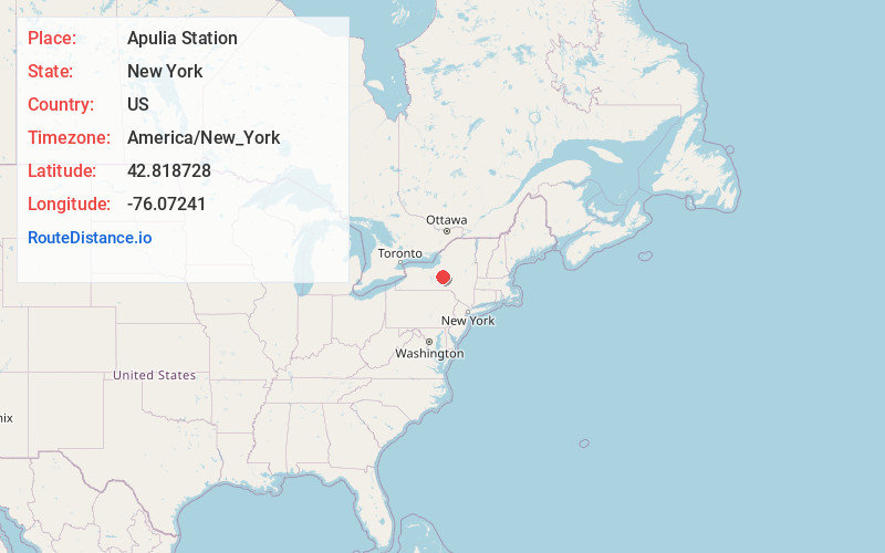
Full AddressApulia Station, NY
-
Coordinates42.8187283, -76.0724099
-
LocationApulia Station , New York , US
-
TimezoneAmerica/New_York
-
Current Local Time5:05:55 PM America/New_YorkWednesday, June 18, 2025
-
Page Views0
About Apulia Station
Apulia Station is a hamlet in Onondaga County, New York, United States. The community is located along New York State Route 80, 2.4 miles northeast of Tully. Apulia Station has a post office with ZIP code 13020, which opened on August 17, 1861.
Nearby Places
Found 10 places within 50 miles

Collingwood
3.4 mi
5.5 km
Collingwood, Lafayette, NY 13084
Get directions

Fabius
4.5 mi
7.2 km
Fabius, NY 13063
Get directions
Onativia
5.0 mi
8.0 km
Onativia, Lafayette, NY 13084
Get directions
Bromley
6.1 mi
9.8 km
Bromley, Tully, NY 13141
Get directions
Baileys Settlement
6.3 mi
10.1 km
Baileys Settlement, Lafayette, NY 13159
Get directions

Lafayette
6.8 mi
10.9 km
Lafayette, NY 13084
Get directions

Truxton
7.7 mi
12.4 km
Truxton, NY 13158
Get directions
Otisco Valley
8.1 mi
13.0 km
Otisco Valley, NY 13159
Get directions
Crains Mills
8.3 mi
13.4 km
Crains Mills, Truxton, NY 13158
Get directions

Delphi Falls
9.0 mi
14.5 km
Delphi Falls, NY 13104
Get directions
Location Links
Local Weather
Weather Information
Coming soon!
Location Map
Static map view of Apulia Station, New York
Browse Places by Distance
Places within specific distances from Apulia Station
Short Distances
Long Distances
Click any distance to see all places within that range from Apulia Station. Distances shown in miles (1 mile ≈ 1.61 kilometers).