Distance to Arabi, Louisiana

Calculating Your Route
Just a moment while we process your request...
Location Information
-
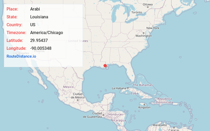
Full AddressArabi, LA 70032
-
Coordinates29.9543702, -90.0053477
-
LocationArabi , Louisiana , US
-
TimezoneAmerica/Chicago
-
Current Local Time6:31:54 PM America/ChicagoSunday, June 1, 2025
-
Page Views0
About Arabi
Arabi is a census-designated place in St. Bernard Parish, Louisiana, United States. It lies on the eastern bank of the Mississippi River, between the Lower 9th Ward of New Orleans and Chalmette within the Greater New Orleans metropolitan area. The population was 4,533 at the 2020 census.


Nearby Places
Found 10 places within 50 miles

Chalmette
2.6 mi
4.2 km
Chalmette, LA
Get directions

Terrytown
3.5 mi
5.6 km
Terrytown, LA
Get directions

Gretna
4.0 mi
6.4 km
Gretna, LA
Get directions

New Orleans
4.2 mi
6.8 km
New Orleans, LA
Get directions

Timberlane
5.6 mi
9.0 km
Timberlane, LA 70056
Get directions

Harvey
5.6 mi
9.0 km
Harvey, LA
Get directions

Meraux
5.7 mi
9.2 km
Meraux, LA
Get directions

Marrero
6.8 mi
10.9 km
Marrero, LA 70072
Get directions

Belle Chasse
6.9 mi
11.1 km
Belle Chasse, LA
Get directions

Violet
7.6 mi
12.2 km
Violet, LA
Get directions
Location Links
Local Weather
Weather Information
Coming soon!
Location Map
Static map view of Arabi, Louisiana
Browse Places by Distance
Places within specific distances from Arabi
Short Distances
Long Distances
Click any distance to see all places within that range from Arabi. Distances shown in miles (1 mile ≈ 1.61 kilometers).