Distance to Arapahoe, Colorado

Calculating Your Route
Just a moment while we process your request...
Location Information
-
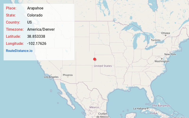
Full AddressArapahoe, CO 80802
-
Coordinates38.8533381, -102.1762596
-
LocationArapahoe , Colorado , US
-
TimezoneAmerica/Denver
-
Current Local Time12:30:05 AM America/DenverFriday, June 13, 2025
-
Page Views0
About Arapahoe
Arapahoe is a census-designated place in Cheyenne County, Colorado, United States. The population was 102 at the 2020 census.
Nearby Places
Found 10 places within 50 miles

Cheyenne Wells
9.8 mi
15.8 km
Cheyenne Wells, CO 80810
Get directions

Weskan
11.4 mi
18.3 km
Weskan, KS 67762
Get directions

Sharon Springs
23.0 mi
37.0 km
Sharon Springs, KS 67758
Get directions

Sheridan Lake
27.4 mi
44.1 km
Sheridan Lake, CO 81071
Get directions
Brandon
31.5 mi
50.7 km
Brandon, CO 81071
Get directions

Burlington
31.7 mi
51.0 km
Burlington, CO 80807
Get directions
Wallace
31.7 mi
51.0 km
Wallace, KS 67761
Get directions
Horace
33.3 mi
53.6 km
Horace, KS 67879
Get directions

Kit Carson
33.6 mi
54.1 km
Kit Carson, CO 80825
Get directions

Bethune
33.9 mi
54.6 km
Bethune, CO 80805
Get directions
Location Links
Local Weather
Weather Information
Coming soon!
Location Map
Static map view of Arapahoe, Colorado
Browse Places by Distance
Places within specific distances from Arapahoe
Short Distances
Long Distances
Click any distance to see all places within that range from Arapahoe. Distances shown in miles (1 mile ≈ 1.61 kilometers).