Distance to Arboga, California

Calculating Your Route
Just a moment while we process your request...
Location Information
-
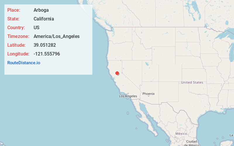
Full AddressArboga, CA 95961
-
Coordinates39.0512822, -121.555796
-
LocationArboga , California , US
-
TimezoneAmerica/Los_Angeles
-
Current Local Time8:34:53 PM America/Los_AngelesSaturday, May 24, 2025
-
Page Views0
About Arboga
Arboga is an unincorporated community in Yuba County, California. It is located 3 miles, south of Olivehurst on the Sacramento Northern Railroad, at an elevation of 56 feet. It was named in 1911 by the pastor of the Mission Covenant Church of Sweden for his hometown of Arboga, Sweden.


Nearby Places
Found 10 places within 50 miles

Plumas Lake
3.0 mi
4.8 km
Plumas Lake, CA
Get directions

Olivehurst
3.1 mi
5.0 km
Olivehurst, CA
Get directions

Abbott
4.3 mi
6.9 km
Abbott, CA 95991
Get directions

Tudor
4.8 mi
7.7 km
Tudor, CA 95991
Get directions

Linda
5.3 mi
8.5 km
Linda, CA
Get directions
Wilson
6.3 mi
10.1 km
Wilson, CA 95991
Get directions

Rio Oso
6.5 mi
10.5 km
Rio Oso, CA 95674
Get directions

Marysville
6.8 mi
10.9 km
Marysville, CA
Get directions

Yuba City
7.0 mi
11.3 km
Yuba City, CA
Get directions

Wheatland
7.7 mi
12.4 km
Wheatland, CA
Get directions
Location Links
Local Weather
Weather Information
Coming soon!
Location Map
Static map view of Arboga, California
Browse Places by Distance
Places within specific distances from Arboga
Short Distances
Long Distances
Click any distance to see all places within that range from Arboga. Distances shown in miles (1 mile ≈ 1.61 kilometers).