Distance to and from Arbon Valley, Idaho
Arbon Valley, ID 83204
Arbon Valley
Idaho
US
America/Boise
Location Information
-
Full AddressArbon Valley, ID 83204
-
Coordinates42.8834659, -112.5811456
-
LocationArbon Valley , Idaho , US
-
TimezoneAmerica/Boise
-
Current Local Time2:38:34 PM America/BoiseSaturday, May 3, 2025
-
Page Views0
Directions to Nearest Cities
About Arbon Valley
Arbon Valley is a census-designated place in Power County, Idaho, in the United States. As of the 2010 census, the CDP population was 599. It lies within the Fort Hall Indian Reservation, just west of the city of Pocatello.

Nearby Places
Found 10 places within 50 miles

Chubbuck
6.4 mi
10.3 km
Chubbuck, ID 83202
Get directions

Pocatello
6.8 mi
10.9 km
Pocatello, ID
Get directions

Tyhee
7.5 mi
12.1 km
Tyhee, ID 83202
Get directions

Fort Hall
12.6 mi
20.3 km
Fort Hall, ID
Get directions

Aberdeen
13.7 mi
22.0 km
Aberdeen, ID 83210
Get directions

American Falls
15.4 mi
24.8 km
American Falls, ID 83211
Get directions

Inkom
17.6 mi
28.3 km
Inkom, ID
Get directions
Riverside
22.9 mi
36.9 km
Riverside, ID 83221
Get directions

Moreland
24.2 mi
38.9 km
Moreland, ID
Get directions

Blackfoot
24.3 mi
39.1 km
Blackfoot, ID 83221
Get directions
Chubbuck
6.4 mi
10.3 km
Chubbuck, ID 83202
Pocatello
6.8 mi
10.9 km
Pocatello, ID
Tyhee
7.5 mi
12.1 km
Tyhee, ID 83202
Fort Hall
12.6 mi
20.3 km
Fort Hall, ID
Aberdeen
13.7 mi
22.0 km
Aberdeen, ID 83210
American Falls
15.4 mi
24.8 km
American Falls, ID 83211
Inkom
17.6 mi
28.3 km
Inkom, ID
Riverside
22.9 mi
36.9 km
Riverside, ID 83221
Moreland
24.2 mi
38.9 km
Moreland, ID
Blackfoot
24.3 mi
39.1 km
Blackfoot, ID 83221
Location Links
Local Weather
Weather Information
Coming soon!
Location Map
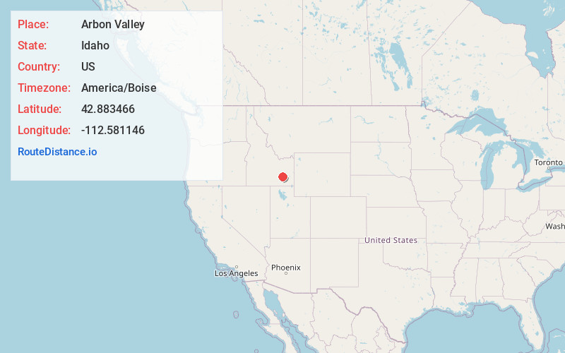
Static map view of Arbon Valley, Idaho
Browse Places by Distance
Places within specific distances from Arbon Valley
Short Distances
Long Distances
Click any distance to see all places within that range from Arbon Valley. Distances shown in miles (1 mile ≈ 1.61 kilometers).