Distance to Ariel, Washington

Calculating Your Route
Just a moment while we process your request...
Location Information
-
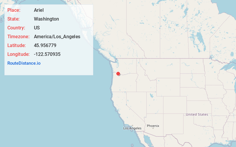
Full AddressAriel, WA 98603
-
Coordinates45.9567789, -122.5709345
-
LocationAriel , Washington , US
-
TimezoneAmerica/Los_Angeles
-
Current Local Time5:50:50 PM America/Los_AngelesWednesday, June 18, 2025
-
Page Views0
About Ariel
Ariel is an unincorporated community in Cowlitz County, Washington. Ariel is located 11 miles northeast of the city of Woodland along Washington State Route 503, situated north of the Lewis River and on the northwest bank of Lake Merwin.


Nearby Places
Found 10 places within 50 miles

Etna
1.8 mi
2.9 km
Etna, WA 98674
Get directions
Hayes
5.4 mi
8.7 km
Hayes, WA 98674
Get directions
Fargher Lake
5.5 mi
8.9 km
Fargher Lake, WA 98629
Get directions
Pine Grove
5.7 mi
9.2 km
Pine Grove, WA 98674
Get directions

Amboy
6.8 mi
10.9 km
Amboy, WA
Get directions
Pigeon Springs
7.1 mi
11.4 km
Pigeon Springs, WA 98625
Get directions

La Center
8.2 mi
13.2 km
La Center, WA
Get directions

Woodland
9.1 mi
14.6 km
Woodland, WA 98674
Get directions
Yale
9.5 mi
15.3 km
Yale, WA 98603
Get directions
Heisson
9.8 mi
15.8 km
Heisson, WA 98604
Get directions
Location Links
Local Weather
Weather Information
Coming soon!
Location Map
Static map view of Ariel, Washington
Browse Places by Distance
Places within specific distances from Ariel
Short Distances
Long Distances
Click any distance to see all places within that range from Ariel. Distances shown in miles (1 mile ≈ 1.61 kilometers).