Distance to Aripeka, Florida

Calculating Your Route
Just a moment while we process your request...
Location Information
-
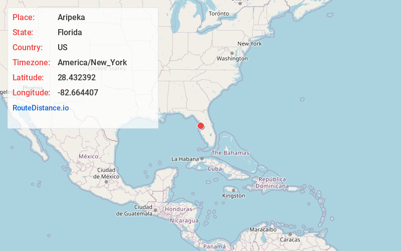
Full AddressAripeka, FL
-
Coordinates28.4323921, -82.6644072
-
LocationAripeka , Florida , US
-
TimezoneAmerica/New_York
-
Current Local Time11:07:58 PM America/New_YorkTuesday, June 17, 2025
-
Page Views0
About Aripeka
Aripeka is an unincorporated community and census-designated place in the U.S. state of Florida, along the coast of the Gulf of Mexico at the border dividing Pasco and Hernando counties. The ZIP Code for the community is 34679, but it was originally assigned as 33502. As of the 2020 census, the population was 320.


Nearby Places
Found 10 places within 50 miles

Hernando Beach
2.6 mi
4.2 km
Hernando Beach, FL 34607
Get directions

Timber Pines
4.5 mi
7.2 km
Timber Pines, FL 34606
Get directions

Hudson
5.0 mi
8.0 km
Hudson, FL 34667
Get directions

Weeki Wachee Gardens
7.3 mi
11.7 km
Weeki Wachee Gardens, FL 34607
Get directions

Shady Hills
7.5 mi
12.1 km
Shady Hills, FL
Get directions

Bayonet Point
7.6 mi
12.2 km
Bayonet Point, FL
Get directions

Spring Hill
8.5 mi
13.7 km
Spring Hill, FL
Get directions
Jasmine Estates
9.8 mi
15.8 km
Jasmine Estates, FL
Get directions
North Weeki Wachee
10.2 mi
16.4 km
North Weeki Wachee, FL
Get directions
Lemon Grove Island
11.4 mi
18.3 km
Lemon Grove Island, Florida 34613
Get directions
Location Links
Local Weather
Weather Information
Coming soon!
Location Map
Static map view of Aripeka, Florida
Browse Places by Distance
Places within specific distances from Aripeka
Short Distances
Long Distances
Click any distance to see all places within that range from Aripeka. Distances shown in miles (1 mile ≈ 1.61 kilometers).