Distance to Arkdale, Wisconsin

Calculating Your Route
Just a moment while we process your request...
Location Information
-
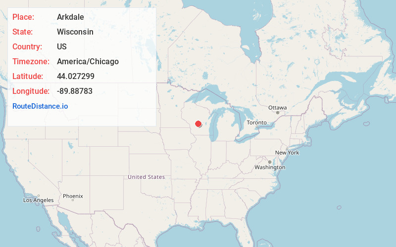
Full AddressArkdale, WI 54613
-
Coordinates44.0272994, -89.88783
-
LocationArkdale , Wisconsin , US
-
TimezoneAmerica/Chicago
-
Current Local Time6:41:16 PM America/ChicagoSunday, June 1, 2025
-
Page Views0
About Arkdale
Arkdale is an unincorporated census-designated place in the town of Strongs Prairie in Adams County, Wisconsin, United States. As of the 2020 Census, its population was 201. Arkdale has an area of 2.221 square miles; 2.144 square miles of this is land, and 0.077 square miles is water.


Nearby Places
Found 10 places within 50 miles

Dellwood
3.9 mi
6.3 km
Dellwood, WI
Get directions

Friendship
5.3 mi
8.5 km
Friendship, WI 53934
Get directions

Adams
6.0 mi
9.7 km
Adams, WI
Get directions

Necedah
9.3 mi
15.0 km
Necedah, WI 54646
Get directions

Lake Arrowhead
12.4 mi
20.0 km
Lake Arrowhead, WI 54457
Get directions

Lake Sherwood
13.2 mi
21.2 km
Lake Sherwood, WI 54457
Get directions

Lake Camelot
14.9 mi
24.0 km
Lake Camelot, WI 54457
Get directions

New Lisbon
17.2 mi
27.7 km
New Lisbon, WI 53950
Get directions

Coloma
18.2 mi
29.3 km
Coloma, WI 54930
Get directions

Mauston
18.5 mi
29.8 km
Mauston, WI 53948
Get directions
Location Links
Local Weather
Weather Information
Coming soon!
Location Map
Static map view of Arkdale, Wisconsin
Browse Places by Distance
Places within specific distances from Arkdale
Short Distances
Long Distances
Click any distance to see all places within that range from Arkdale. Distances shown in miles (1 mile ≈ 1.61 kilometers).