Distance to Armada Township, Michigan

Calculating Your Route
Just a moment while we process your request...
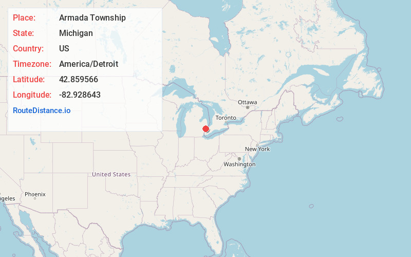
Location Information
-
Full AddressArmada Township, MI
-
Coordinates42.8595655, -82.9286428
-
LocationArmada Township , Michigan , US
-
TimezoneAmerica/Detroit
-
Current Local Time8:38:23 PM America/DetroitWednesday, May 21, 2025
-
Page Views0
About Armada Township
Armada Township is a civil township of Macomb County in the U.S. state of Michigan. As of the 2020 census, the township population was 5,318.
The village of Armada is located within the township. Armada Township was organized in 1832.
Nearby Places
Found 10 places within 50 miles

Armada
2.5 mi
4.0 km
Armada, MI 48005
Get directions

Berville
4.1 mi
6.6 km
Berville, MI 48002
Get directions
Allenton
4.2 mi
6.8 km
Allenton, MI 48002
Get directions
Bruce Township
5.5 mi
8.9 km
Bruce Township, MI 48065
Get directions

Romeo
5.8 mi
9.3 km
Romeo, MI
Get directions
Wolcott Mills
6.3 mi
10.1 km
Wolcott Mills, MI 48096
Get directions

Richmond Township
6.6 mi
10.6 km
Richmond Township, MI
Get directions
Lesterville
6.9 mi
11.1 km
Lesterville, MI 48002
Get directions
Ray
6.9 mi
11.1 km
Ray, MI 48096
Get directions
Riley Center
7.1 mi
11.4 km
Riley Center, Riley Township, MI 48041
Get directions
Location Links
Local Weather
Weather Information
Coming soon!
Location Map
Static map view of Armada Township, Michigan
Browse Places by Distance
Places within specific distances from Armada Township
Short Distances
Long Distances
Click any distance to see all places within that range from Armada Township. Distances shown in miles (1 mile ≈ 1.61 kilometers).