Distance to Arnold, Missouri

Calculating Your Route
Just a moment while we process your request...
Location Information
-
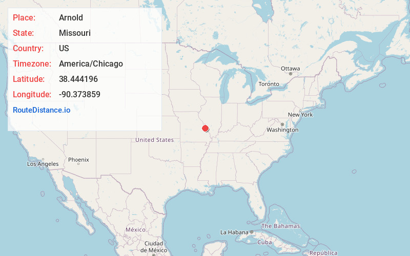
Full AddressArnold, MO 63010
-
Coordinates38.4441963, -90.373859
-
LocationArnold , Missouri , US
-
TimezoneAmerica/Chicago
-
Current Local Time12:06:50 AM America/ChicagoSunday, June 22, 2025
-
Page Views0
About Arnold
Arnold is a city in northeastern Jefferson County, Missouri, situated near the confluence of the Meramec and Mississippi rivers. A suburb of St. Louis, the city lies within the Greater St. Louis metropolitan statistical area.


Nearby Places
Found 10 places within 50 miles

Oakville
4.2 mi
6.8 km
Oakville, MO 63129
Get directions

Mehlville
5.2 mi
8.4 km
Mehlville, MO
Get directions

Kirkwood
9.8 mi
15.8 km
Kirkwood, MO 63122
Get directions

Webster Groves
10.3 mi
16.6 km
Webster Groves, MO
Get directions

Ballwin
14.0 mi
22.5 km
Ballwin, MO
Get directions

St. Louis
15.8 mi
25.4 km
St. Louis, MO
Get directions

Wildwood
18.3 mi
29.5 km
Wildwood, MO
Get directions

Chesterfield
18.7 mi
30.1 km
Chesterfield, MO
Get directions

Maryland Heights
18.8 mi
30.3 km
Maryland Heights, MO
Get directions

Granite City
21.5 mi
34.6 km
Granite City, IL
Get directions
Location Links
Local Weather
Weather Information
Coming soon!
Location Map
Static map view of Arnold, Missouri
Browse Places by Distance
Places within specific distances from Arnold
Short Distances
Long Distances
Click any distance to see all places within that range from Arnold. Distances shown in miles (1 mile ≈ 1.61 kilometers).