Distance to Aromas, California

Calculating Your Route
Just a moment while we process your request...
Location Information
-
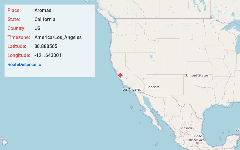
Full AddressAromas, CA 95004
-
Coordinates36.8885646, -121.6430011
-
LocationAromas , California , US
-
TimezoneAmerica/Los_Angeles
-
Current Local Time11:04:13 PM America/Los_AngelesTuesday, June 3, 2025
-
Page Views0
About Aromas
Aromas is an unincorporated community and census-designated place in Monterey County and San Benito County, California, United States. The population was 2,708 at the 2020 census.
The CDP straddles the border of the two counties, with Monterey County to the west and San Benito County to the east.


Nearby Places
Found 10 places within 50 miles

Las Lomas
5.3 mi
8.5 km
Las Lomas, CA 95076
Get directions

Watsonville
6.5 mi
10.5 km
Watsonville, CA
Get directions

Interlaken
6.6 mi
10.6 km
Interlaken, CA 95076
Get directions

Prunedale
7.9 mi
12.7 km
Prunedale, CA
Get directions

Amesti
9.1 mi
14.6 km
Amesti, CA 95076
Get directions

Gilroy
9.2 mi
14.8 km
Gilroy, CA 95020
Get directions

Freedom
9.4 mi
15.1 km
Freedom, CA
Get directions

Castroville
10.6 mi
17.1 km
Castroville, CA
Get directions
Day Valley
13.6 mi
21.9 km
Day Valley, CA
Get directions

Hollister
13.6 mi
21.9 km
Hollister, CA 95023
Get directions
Location Links
Local Weather
Weather Information
Coming soon!
Location Map
Static map view of Aromas, California
Browse Places by Distance
Places within specific distances from Aromas
Short Distances
Long Distances
Click any distance to see all places within that range from Aromas. Distances shown in miles (1 mile ≈ 1.61 kilometers).