Distance to Arrowhead Township, Minnesota

Calculating Your Route
Just a moment while we process your request...
Location Information
-
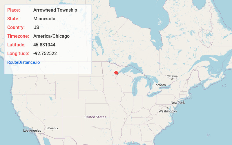
Full AddressArrowhead Township, MN
-
Coordinates46.8310436, -92.7525218
-
LocationArrowhead Township , Minnesota , US
-
TimezoneAmerica/Chicago
-
Current Local Time8:18:15 PM America/ChicagoWednesday, June 18, 2025
-
Page Views0
About Arrowhead Township
Arrowhead Township is a township in Saint Louis County, Minnesota, United States. The population was 223 at the 2010 census.
U.S. Highway 2 serves as a main route in the township. Highway 2 runs east–west through the middle of the township.
Nearby Places
Found 10 places within 50 miles

Paupores
2.9 mi
4.7 km
Paupores, MN 55711
Get directions
Gowan
5.0 mi
8.0 km
Gowan, MN 55736
Get directions
Fine Lakes Township
5.1 mi
8.2 km
Fine Lakes Township, MN
Get directions

Brookston
7.5 mi
12.1 km
Brookston, MN 55711
Get directions

Perch Lake Township
8.5 mi
13.7 km
Perch Lake Township, MN
Get directions
Arlberg
9.4 mi
15.1 km
Arlberg, MN 55711
Get directions

Floodwood
10.4 mi
16.7 km
Floodwood, MN 55736
Get directions
Big Lake Chapel
10.6 mi
17.1 km
Big Lake Chapel, MN 55720
Get directions
North Carlton
10.7 mi
17.2 km
North Carlton, MN
Get directions

Prairie Lake Township
11.1 mi
17.9 km
Prairie Lake Township, MN
Get directions
Location Links
Local Weather
Weather Information
Coming soon!
Location Map
Static map view of Arrowhead Township, Minnesota
Browse Places by Distance
Places within specific distances from Arrowhead Township
Short Distances
Long Distances
Click any distance to see all places within that range from Arrowhead Township. Distances shown in miles (1 mile ≈ 1.61 kilometers).