Distance to Artonish, Mississippi

Calculating Your Route
Just a moment while we process your request...
Location Information
-
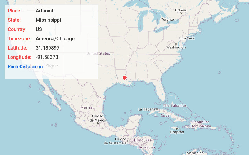
Full AddressArtonish, MS 39669
-
Coordinates31.1898972, -91.5837297
-
LocationArtonish , Mississippi , US
-
TimezoneAmerica/Chicago
-
Current Local Time2:34:46 PM America/ChicagoThursday, May 22, 2025
-
Page Views0
About Artonish
Artonish is a ghost town located in Wilkinson County, Mississippi, United States. South of the town was Artonish Landing, located on a stretch of the Mississippi River known as the "Homochitto Cutoff".
Located near the community were the Artonish School, Artonish Plantation, and Artonish Oil Field.
Nearby Places
Found 10 places within 50 miles

Loch Leven
1.4 mi
2.3 km
Loch Leven, MS 39669
Get directions
Fort Adams
7.5 mi
12.1 km
Fort Adams, MS 39669
Get directions
Deer Park
15.7 mi
25.3 km
Deer Park, LA 71373
Get directions
Retreat
16.1 mi
25.9 km
Retreat, LA 70775
Get directions
Turnbull
17.7 mi
28.5 km
Turnbull, LA 70775
Get directions

Woodville
17.8 mi
28.6 km
Woodville, MS
Get directions
Weyanoke
18.3 mi
29.5 km
Weyanoke, LA 70775
Get directions
Keller
19.0 mi
30.6 km
Keller, LA 70753
Get directions
Simmesport
19.2 mi
30.9 km
Simmesport, LA 71369
Get directions

Monterey
19.7 mi
31.7 km
Monterey, LA
Get directions
Location Links
Local Weather
Weather Information
Coming soon!
Location Map
Static map view of Artonish, Mississippi
Browse Places by Distance
Places within specific distances from Artonish
Short Distances
Long Distances
Click any distance to see all places within that range from Artonish. Distances shown in miles (1 mile ≈ 1.61 kilometers).