Distance to Arvada, Colorado

Calculating Your Route
Just a moment while we process your request...
Location Information
-
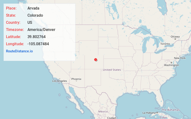
Full AddressArvada, CO
-
Coordinates39.8027644, -105.0874842
-
LocationArvada , Colorado , US
-
TimezoneAmerica/Denver
-
Current Local Time8:16:22 PM America/DenverMonday, June 9, 2025
-
Website
-
Page Views0
About Arvada
Arvada is a home rule city located in Jefferson and Adams counties, Colorado, United States. The city population was 124,402 at the 2020 United States census, with 121,510 residing in Jefferson County and 2,892 in Adams County. Arvada is the seventh most populous city in Colorado.


Nearby Places
Found 8 places within 50 miles

Westminster
3.6 mi
5.8 km
Westminster, CO
Get directions

Denver
6.8 mi
10.9 km
Denver, CO
Get directions

Lakewood
6.8 mi
10.9 km
Lakewood, CO
Get directions

Thornton
7.6 mi
12.2 km
Thornton, CO
Get directions

Aurora
14.5 mi
23.3 km
Aurora, CO
Get directions

Boulder
17.9 mi
28.8 km
Boulder, CO
Get directions

Longmont
25.2 mi
40.6 km
Longmont, CO
Get directions

Greeley
47.3 mi
76.1 km
Greeley, CO
Get directions
Location Links
Local Weather
Weather Information
Coming soon!
Location Map
Static map view of Arvada, Colorado
Browse Places by Distance
Places within specific distances from Arvada
Short Distances
Long Distances
Click any distance to see all places within that range from Arvada. Distances shown in miles (1 mile ≈ 1.61 kilometers).