Distance to Ash Lake, Minnesota

Calculating Your Route
Just a moment while we process your request...
Location Information
-
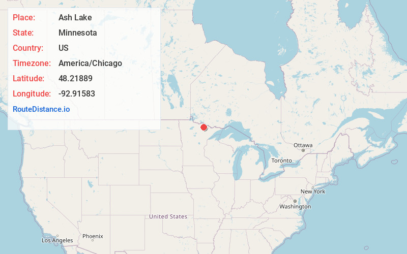
Full AddressAsh Lake, MN 55771
-
Coordinates48.21889, -92.91583
-
LocationAsh Lake , Minnesota , US
-
TimezoneAmerica/Chicago
-
Current Local Time12:02:03 AM America/ChicagoThursday, June 19, 2025
-
Page Views0
About Ash Lake
Ash Lake is an unincorporated community in Saint Louis County, Minnesota, United States; located within the Kabetogama State Forest.
The community is 13 miles north of Orr, and 30 miles north of Cook. It lies along U.S. Highway 53 near UT Road 8146, Jacobs Road. The Ash River and Ash Lake are both in the vicinity.

Nearby Places
Found 10 places within 50 miles

Cusson
8.8 mi
14.2 km
Cusson, MN 55771
Get directions

Orr
12.1 mi
19.5 km
Orr, MN 55771
Get directions

Crane Lake
19.9 mi
32.0 km
Crane Lake, MN 55725
Get directions

Wakemup
23.9 mi
38.5 km
Wakemup, MN 55723
Get directions
Linden Grove
24.7 mi
39.8 km
Linden Grove, MN 55723
Get directions

Cook
27.4 mi
44.1 km
Cook, MN 55723
Get directions
Littlefork
31.9 mi
51.3 km
Littlefork, MN 56653
Get directions

Ranier
33.7 mi
54.2 km
Ranier, MN 56649
Get directions
Wisner
35.5 mi
57.1 km
Wisner, MN 56653
Get directions
Peyla
39.4 mi
63.4 km
Peyla, MN 55790
Get directions
Location Links
Local Weather
Weather Information
Coming soon!
Location Map
Static map view of Ash Lake, Minnesota
Browse Places by Distance
Places within specific distances from Ash Lake
Short Distances
Long Distances
Click any distance to see all places within that range from Ash Lake. Distances shown in miles (1 mile ≈ 1.61 kilometers).