Distance to Ashburn, Virginia

Calculating Your Route
Just a moment while we process your request...
Location Information
-
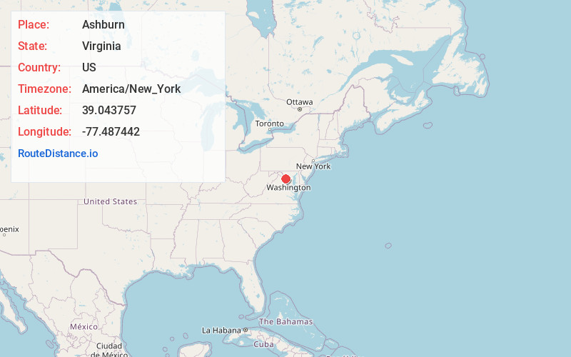
Full AddressAshburn, VA
-
Coordinates39.0437567, -77.4874416
-
LocationAshburn , Virginia , US
-
TimezoneAmerica/New_York
-
Current Local Time10:08:32 AM America/New_YorkTuesday, June 24, 2025
-
Page Views0
About Ashburn
Ashburn is a unincorporated settlement and census-designated place in Loudoun County, Virginia, United States. At the 2010 United States census, its population was 43,511, up from 3,393 in 1990. It is 30 miles northwest of Washington, D.C., and part of the Washington metropolitan area.


Nearby Places
Found 10 places within 50 miles

Leesburg
6.5 mi
10.5 km
Leesburg, VA
Get directions

Reston
9.1 mi
14.6 km
Reston, VA
Get directions

Centreville
14.4 mi
23.2 km
Centreville, VA
Get directions

Germantown
14.6 mi
23.5 km
Germantown, MD
Get directions

Potomac
15.1 mi
24.3 km
Potomac, MD
Get directions

Gaithersburg
16.8 mi
27.0 km
Gaithersburg, MD
Get directions

Rockville
18.2 mi
29.3 km
Rockville, MD
Get directions

McLean
18.3 mi
29.5 km
McLean, VA
Get directions

North Bethesda
19.8 mi
31.9 km
North Bethesda, MD
Get directions

Burke
20.8 mi
33.5 km
Burke, VA
Get directions
Location Links
Local Weather
Weather Information
Coming soon!
Location Map
Static map view of Ashburn, Virginia
Browse Places by Distance
Places within specific distances from Ashburn
Short Distances
Long Distances
Click any distance to see all places within that range from Ashburn. Distances shown in miles (1 mile ≈ 1.61 kilometers).