Distance to Asher, Oklahoma

Calculating Your Route
Just a moment while we process your request...
Location Information
-
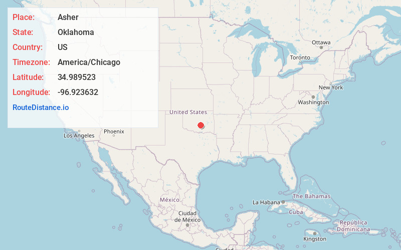
Full AddressAsher, OK 74826
-
Coordinates34.9895233, -96.9236322
-
LocationAsher , Oklahoma , US
-
TimezoneAmerica/Chicago
-
Current Local Time10:59:53 AM America/ChicagoThursday, June 19, 2025
-
Website
-
Page Views0
About Asher
Asher is a town in Pottawatomie County, Oklahoma. The population was 393 at the 2010 census, a decline of 6.2 percent from the figure of 419 in 2000.


Nearby Places
Found 10 places within 50 miles

Konawa
9.9 mi
15.9 km
Konawa, OK 74849
Get directions

Maud
12.8 mi
20.6 km
Maud, OK 74854
Get directions

Stratford
13.5 mi
21.7 km
Stratford, OK 74872
Get directions

Pickett
16.6 mi
26.7 km
Pickett, OK 74820
Get directions

Byng
17.1 mi
27.5 km
Byng, OK 74820
Get directions

Tecumseh
18.6 mi
29.9 km
Tecumseh, OK
Get directions

Ada
20.3 mi
32.7 km
Ada, OK
Get directions

Seminole
21.6 mi
34.8 km
Seminole, OK
Get directions

Pink
21.8 mi
35.1 km
Pink, OK
Get directions

Paoli
22.1 mi
35.6 km
Paoli, OK 73074
Get directions
Location Links
Local Weather
Weather Information
Coming soon!
Location Map
Static map view of Asher, Oklahoma
Browse Places by Distance
Places within specific distances from Asher
Short Distances
Long Distances
Click any distance to see all places within that range from Asher. Distances shown in miles (1 mile ≈ 1.61 kilometers).