Distance to Ashland, Kansas

Calculating Your Route
Just a moment while we process your request...
Location Information
-
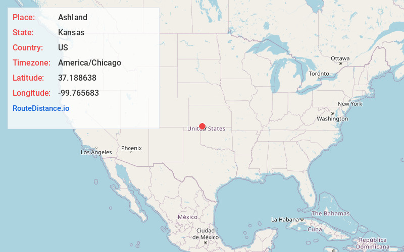
Full AddressAshland, KS 67831
-
Coordinates37.1886376, -99.7656834
-
LocationAshland , Kansas , US
-
TimezoneAmerica/Chicago
-
Current Local Time2:58:01 PM America/ChicagoFriday, June 20, 2025
-
Website
-
Page Views0
About Ashland
Ashland is a city in and the county seat of Clark County, Kansas, United States. As of the 2020 census, the population of the city was 783.

Nearby Places
Found 9 places within 50 miles

Buffalo
25.5 mi
41.0 km
Buffalo, OK
Get directions

Meade
32.3 mi
52.0 km
Meade, KS 67864
Get directions

Laverne
33.8 mi
54.4 km
Laverne, OK 73848
Get directions

Wilroads Gardens
37.5 mi
60.4 km
Wilroads Gardens, KS 67801
Get directions

Dodge City
41.6 mi
66.9 km
Dodge City, KS 67801
Get directions

Spearville
45.7 mi
73.5 km
Spearville, KS 67876
Get directions

Plains
45.8 mi
73.7 km
Plains, KS 67869
Get directions
Montezuma
46.6 mi
75.0 km
Montezuma, KS 67867
Get directions
Beaver
48.9 mi
78.7 km
Beaver, OK 73932
Get directions
Location Links
Local Weather
Weather Information
Coming soon!
Location Map
Static map view of Ashland, Kansas
Browse Places by Distance
Places within specific distances from Ashland
Short Distances
Long Distances
Click any distance to see all places within that range from Ashland. Distances shown in miles (1 mile ≈ 1.61 kilometers).