Distance to Ashland, Ohio

Calculating Your Route
Just a moment while we process your request...
Location Information
-
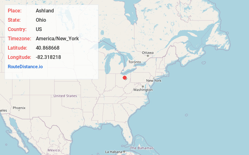
Full AddressAshland, OH 44805
-
Coordinates40.8686675, -82.3182178
-
LocationAshland , Ohio , US
-
TimezoneAmerica/New_York
-
Current Local Time6:52:41 PM America/New_YorkFriday, June 20, 2025
-
Website
-
Page Views0
About Ashland
Ashland is a city in Ashland County, Ohio, United States, and its county seat. It is approximately 66 miles southwest of Cleveland. The population was 19,225 at the 2020 census. It is the center of the Ashland Micropolitan statistical area, which includes all of Ashland County.


Nearby Places
Found 10 places within 50 miles

Mansfield
12.8 mi
20.6 km
Mansfield, OH
Get directions

Wooster
20.4 mi
32.8 km
Wooster, OH 44691
Get directions

Medina
30.7 mi
49.4 km
Medina, OH 44256
Get directions

Wadsworth
32.6 mi
52.5 km
Wadsworth, OH 44281
Get directions

Brunswick
35.6 mi
57.3 km
Brunswick, OH
Get directions

Elyria
36.2 mi
58.3 km
Elyria, OH 44035
Get directions

Barberton
38.5 mi
62.0 km
Barberton, OH 44203
Get directions

North Ridgeville
39.2 mi
63.1 km
North Ridgeville, OH
Get directions

Strongsville
39.8 mi
64.1 km
Strongsville, OH
Get directions

Lorain
41.0 mi
66.0 km
Lorain, OH
Get directions
Location Links
Local Weather
Weather Information
Coming soon!
Location Map
Static map view of Ashland, Ohio
Browse Places by Distance
Places within specific distances from Ashland
Short Distances
Long Distances
Click any distance to see all places within that range from Ashland. Distances shown in miles (1 mile ≈ 1.61 kilometers).