Distance to and from Ashland, Massachusetts
Ashland, MA
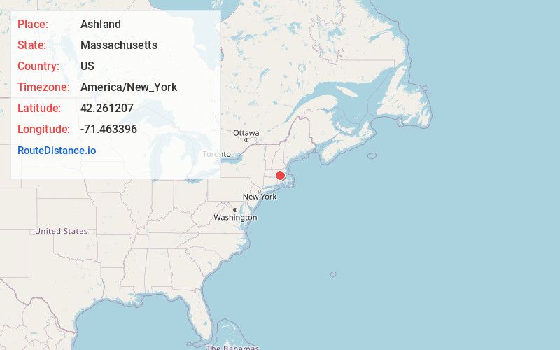
Ashland
Massachusetts
US
America/New_York
Location Information
-
Full AddressAshland, MA
-
Coordinates42.2612067, -71.4633956
-
LocationAshland , Massachusetts , US
-
TimezoneAmerica/New_York
-
Current Local Time4:33:21 PM America/New_YorkSaturday, May 3, 2025
-
Website
-
Page Views0
Directions to Nearest Cities
About Ashland
Ashland is a town in Middlesex County, Massachusetts, United States. It is part of the MetroWest region. The population was 18,832 at the 2020 United States census.


Nearby Places
Found 10 places within 50 miles

Framingham
2.7 mi
4.3 km
Framingham, MA
Get directions

Natick
6.1 mi
9.8 km
Natick, MA
Get directions

Marlborough
7.4 mi
11.9 km
Marlborough, MA
Get directions

Westborough
7.7 mi
12.4 km
Westborough, MA
Get directions

Milford
8.7 mi
14.0 km
Milford, MA 01757
Get directions

Sudbury
8.8 mi
14.2 km
Sudbury, MA
Get directions

Wellesley
10.3 mi
16.6 km
Wellesley, MA
Get directions

Hudson
10.5 mi
16.9 km
Hudson, MA
Get directions

Needham
11.6 mi
18.7 km
Needham, MA
Get directions

Grafton
12.0 mi
19.3 km
Grafton, MA
Get directions
Framingham
2.7 mi
4.3 km
Framingham, MA
Natick
6.1 mi
9.8 km
Natick, MA
Marlborough
7.4 mi
11.9 km
Marlborough, MA
Westborough
7.7 mi
12.4 km
Westborough, MA
Milford
8.7 mi
14.0 km
Milford, MA 01757
Sudbury
8.8 mi
14.2 km
Sudbury, MA
Wellesley
10.3 mi
16.6 km
Wellesley, MA
Hudson
10.5 mi
16.9 km
Hudson, MA
Needham
11.6 mi
18.7 km
Needham, MA
Grafton
12.0 mi
19.3 km
Grafton, MA
Location Links
Local Weather
Weather Information
Coming soon!
Location Map
Static map view of Ashland, Massachusetts
Browse Places by Distance
Places within specific distances from Ashland
Short Distances
Long Distances
Click any distance to see all places within that range from Ashland. Distances shown in miles (1 mile ≈ 1.61 kilometers).