Distance to Ashland, South Carolina

Calculating Your Route
Just a moment while we process your request...
Location Information
-
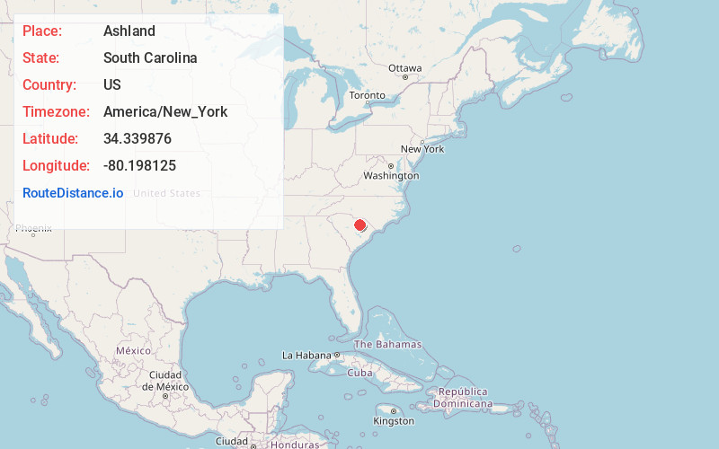
Full AddressAshland, SC 29010
-
Coordinates34.3398762, -80.1981253
-
LocationAshland , South Carolina , US
-
TimezoneAmerica/New_York
-
Current Local Time5:34:10 AM America/New_YorkWednesday, June 18, 2025
-
Page Views0
Nearby Places
Found 10 places within 50 miles

Clyde
3.2 mi
5.1 km
Clyde, SC 29550
Get directions
Kellytown
3.5 mi
5.6 km
Kellytown, SC 29550
Get directions
Segars
4.9 mi
7.9 km
Segars, SC 29550
Get directions
New Market
5.3 mi
8.5 km
New Market, SC 29550
Get directions
Lydia
6.0 mi
9.7 km
Lydia, SC
Get directions
Una
6.0 mi
9.7 km
Una, SC 29550
Get directions
Shannon Hill
6.1 mi
9.8 km
Shannon Hill, SC 29010
Get directions
Alcot
6.2 mi
10.0 km
Alcot, SC 29010
Get directions
Lees Crossroads
7.0 mi
11.3 km
Lees Crossroads, SC 29550
Get directions

Hartsville
7.5 mi
12.1 km
Hartsville, SC 29550
Get directions
Location Links
Local Weather
Weather Information
Coming soon!
Location Map
Static map view of Ashland, South Carolina
Browse Places by Distance
Places within specific distances from Ashland
Short Distances
Long Distances
Click any distance to see all places within that range from Ashland. Distances shown in miles (1 mile ≈ 1.61 kilometers).