Distance to Aspendell, California

Calculating Your Route
Just a moment while we process your request...
Location Information
-
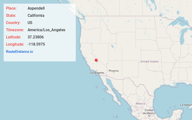
Full AddressAspendell, CA 93514
-
Coordinates37.23806, -118.5975
-
LocationAspendell , California , US
-
TimezoneAmerica/Los_Angeles
-
Current Local Time7:47:51 AM America/Los_AngelesTuesday, June 24, 2025
-
Page Views0
About Aspendell
Aspendell is an unincorporated community in Inyo County, California, United States located at 8,409 feet above sea level with a population of 70 people. The town was developed in 1961 by Gene Scherer.


Nearby Places
Found 10 places within 50 miles

Peterson Mill
6.7 mi
10.8 km
Peterson Mill, CA 93514
Get directions

Scheelite
10.6 mi
17.1 km
Scheelite, CA 93514
Get directions

West Bishop
11.6 mi
18.7 km
West Bishop, CA 93514
Get directions

Wilkerson
12.0 mi
19.3 km
Wilkerson, CA 93514
Get directions

Round Valley
12.5 mi
20.1 km
Round Valley, CA 93514
Get directions

Mesa
12.8 mi
20.6 km
Mesa, CA 93514
Get directions

Bishop
14.0 mi
22.5 km
Bishop, CA 93514
Get directions

Dixon Lane-Meadow Creek
14.0 mi
22.5 km
Dixon Lane-Meadow Creek, CA 93514
Get directions

Big Pine
17.7 mi
28.5 km
Big Pine, CA
Get directions

Mesa Camp
18.7 mi
30.1 km
Mesa Camp, CA
Get directions
Location Links
Local Weather
Weather Information
Coming soon!
Location Map
Static map view of Aspendell, California
Browse Places by Distance
Places within specific distances from Aspendell
Short Distances
Long Distances
Click any distance to see all places within that range from Aspendell. Distances shown in miles (1 mile ≈ 1.61 kilometers).