Distance to Asylum Township, Pennsylvania

Calculating Your Route
Just a moment while we process your request...
Location Information
-
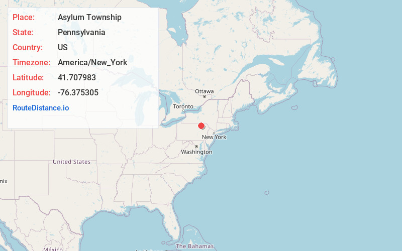
Full AddressAsylum Township, PA
-
Coordinates41.7079828, -76.3753046
-
LocationAsylum Township , Pennsylvania , US
-
TimezoneAmerica/New_York
-
Current Local Time10:54:31 PM America/New_YorkWednesday, June 25, 2025
-
Page Views0
About Asylum Township
Asylum Township is a township in Bradford County, Pennsylvania, United States. It is part of Northeastern Pennsylvania. The population was 999 at the 2020 census. The town contains the historic site of French Azilum.
Nearby Places
Found 10 places within 50 miles

Durell
1.3 mi
2.1 km
Durell, Asylum Township, PA 18848
Get directions
Uhdey
1.8 mi
2.9 km
Uhdey, Asylum Township, PA 18848
Get directions
Standing Stone
2.3 mi
3.7 km
Standing Stone, PA 18854
Get directions
Marshview
2.3 mi
3.7 km
Marshview, Asylum Township, PA 18848
Get directions
Homets Ferry
2.8 mi
4.5 km
Homets Ferry, Wyalusing Township, PA 18853
Get directions
Viall Hill
3.4 mi
5.5 km
Viall Hill, Terry Township, PA 18853
Get directions
Rummerfield
4.3 mi
6.9 km
Rummerfield, Standing Stone Township, PA 18853
Get directions
Rienze
4.4 mi
7.1 km
Rienze, PA 18853
Get directions

Standing Stone Township
4.4 mi
7.1 km
Standing Stone Township, PA
Get directions
South Towanda
4.6 mi
7.4 km
South Towanda, Towanda Township, PA 18848
Get directions
Location Links
Local Weather
Weather Information
Coming soon!
Location Map
Static map view of Asylum Township, Pennsylvania
Browse Places by Distance
Places within specific distances from Asylum Township
Short Distances
Long Distances
Click any distance to see all places within that range from Asylum Township. Distances shown in miles (1 mile ≈ 1.61 kilometers).