Distance to Atchafalaya Basin, Louisiana

Calculating Your Route
Just a moment while we process your request...
Location Information
-
Full AddressAtchafalaya Basin, Louisiana 70517
-
Coordinates30.3696046, -91.6526445
-
LocationLouisiana , US
-
TimezoneAmerica/Chicago
-
Current Local Time9:55:49 PM America/ChicagoFriday, June 20, 2025
-
Page Views0
About Atchafalaya Basin
Huge swamp located at the place where the Atchaflaya River & the Gulf of Mexico converge.


Nearby Places
Found 10 places within 50 miles

Henderson
9.1 mi
14.6 km
Henderson, LA 70517
Get directions

Catahoula
11.2 mi
18.0 km
Catahoula, LA 70582
Get directions

Maringouin
11.6 mi
18.7 km
Maringouin, LA 70757
Get directions

Cecilia
12.2 mi
19.6 km
Cecilia, LA
Get directions

Rosedale
12.9 mi
20.8 km
Rosedale, LA
Get directions

Krotz Springs
13.0 mi
20.9 km
Krotz Springs, LA 70750
Get directions

Grosse Tete
13.3 mi
21.4 km
Grosse Tete, LA
Get directions

Catahoula Cove
13.4 mi
21.6 km
Catahoula Cove, LA 70582
Get directions
Quick
13.6 mi
21.9 km
Quick, LA 70755
Get directions
Moonshine Field
13.8 mi
22.2 km
Moonshine Field, Louisiana 70740
Get directions
Location Links
Local Weather
Weather Information
Coming soon!
Location Map
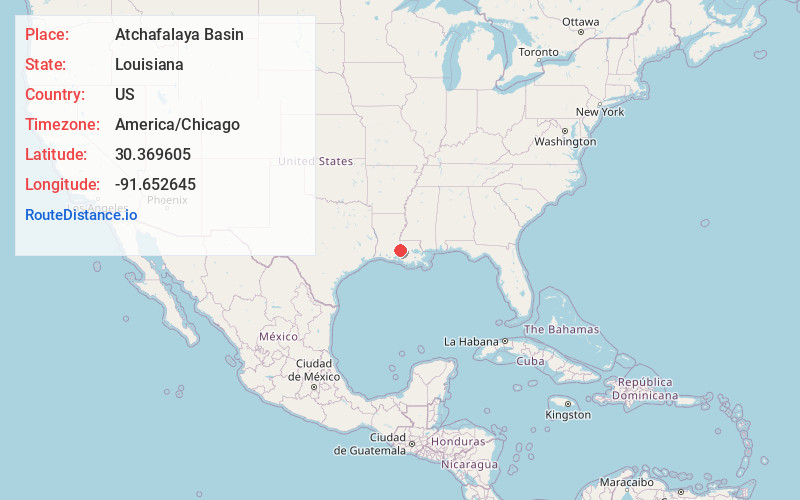
Static map view of Atchafalaya Basin, Louisiana
Browse Places by Distance
Places within specific distances from Atchafalaya Basin
Short Distances
Long Distances
Click any distance to see all places within that range from Atchafalaya Basin. Distances shown in miles (1 mile ≈ 1.61 kilometers).