Distance to and from Aten, Nebraska
Aten, NE 68730
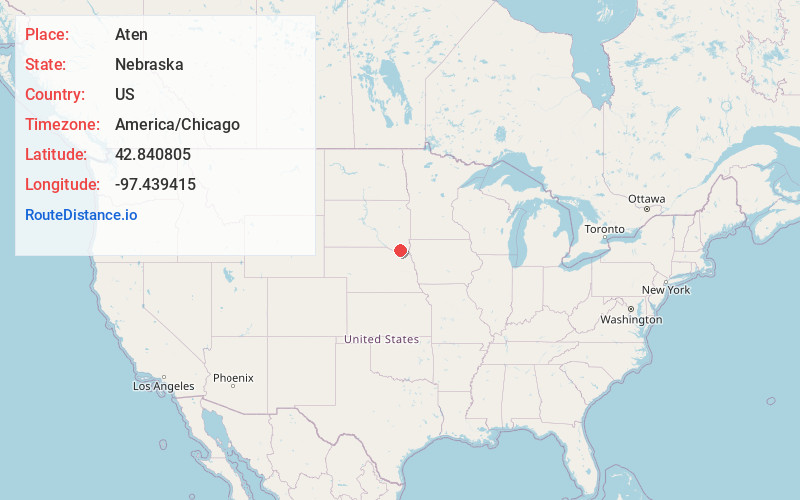
Aten
Nebraska
US
America/Chicago
Location Information
-
Full AddressAten, NE 68730
-
Coordinates42.840805, -97.439415
-
LocationAten , Nebraska , US
-
TimezoneAmerica/Chicago
-
Current Local Time5:41:04 PM America/ChicagoSunday, May 4, 2025
-
Page Views0
Directions to Nearest Cities
About Aten
Aten is an unincorporated community and census-designated place in Cedar County, Nebraska, United States. As of the 2010 census it had a population of 112.
Nearby Places
Found 10 places within 50 miles

Yankton
3.0 mi
4.8 km
Yankton, SD 57078
Get directions

Crofton
8.2 mi
13.2 km
Crofton, NE 68730
Get directions

St Helena
9.9 mi
15.9 km
St Helena, NE 68774
Get directions
Mission Hill
9.9 mi
15.9 km
Mission Hill, SD 57046
Get directions

Utica
10.1 mi
16.3 km
Utica, SD 57067
Get directions

Fordyce
10.6 mi
17.1 km
Fordyce, NE 68736
Get directions

Tabor
13.4 mi
21.6 km
Tabor, SD 57063
Get directions
Gayville
13.9 mi
22.4 km
Gayville, SD 57031
Get directions
Bow Valley Mills
14.9 mi
24.0 km
Bow Valley Mills, Precinct 5, NE 68792
Get directions
Wynot
15.4 mi
24.8 km
Wynot, NE 68792
Get directions
Yankton
3.0 mi
4.8 km
Yankton, SD 57078
Crofton
8.2 mi
13.2 km
Crofton, NE 68730
St Helena
9.9 mi
15.9 km
St Helena, NE 68774
Mission Hill
9.9 mi
15.9 km
Mission Hill, SD 57046
Utica
10.1 mi
16.3 km
Utica, SD 57067
Fordyce
10.6 mi
17.1 km
Fordyce, NE 68736
Tabor
13.4 mi
21.6 km
Tabor, SD 57063
Gayville
13.9 mi
22.4 km
Gayville, SD 57031
Bow Valley Mills
14.9 mi
24.0 km
Bow Valley Mills, Precinct 5, NE 68792
Wynot
15.4 mi
24.8 km
Wynot, NE 68792
Location Links
Local Weather
Weather Information
Coming soon!
Location Map
Static map view of Aten, Nebraska
Browse Places by Distance
Places within specific distances from Aten
Short Distances
Long Distances
Click any distance to see all places within that range from Aten. Distances shown in miles (1 mile ≈ 1.61 kilometers).