Distance to Atkins, Iowa

Calculating Your Route
Just a moment while we process your request...
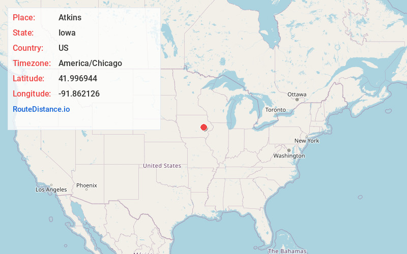
Location Information
-
Full AddressAtkins, IA 52206
-
Coordinates41.9969436, -91.8621262
-
LocationAtkins , Iowa , US
-
TimezoneAmerica/Chicago
-
Current Local Time10:32:48 AM America/ChicagoThursday, June 19, 2025
-
Page Views0
About Atkins
Atkins is a city in Benton County, Iowa, United States. The population was 2,056 at the 2020 census. It is part of the Cedar Rapids Metropolitan Statistical Area.
Nearby Places
Found 10 places within 50 miles

Fairfax
6.8 mi
10.9 km
Fairfax, IA 52228
Get directions

Hiawatha
9.9 mi
15.9 km
Hiawatha, IA
Get directions

Cedar Rapids
10.2 mi
16.4 km
Cedar Rapids, IA
Get directions

Robins
11.3 mi
18.2 km
Robins, IA
Get directions

Marion
13.8 mi
22.2 km
Marion, IA
Get directions

Center Point
14.0 mi
22.5 km
Center Point, IA 52213
Get directions

Vinton
14.1 mi
22.7 km
Vinton, IA 52349
Get directions

Marengo
17.7 mi
28.5 km
Marengo, IA 52301
Get directions

North Liberty
21.4 mi
34.4 km
North Liberty, IA 52317
Get directions

Belle Plaine
22.4 mi
36.0 km
Belle Plaine, IA 52208
Get directions
Location Links
Local Weather
Weather Information
Coming soon!
Location Map
Static map view of Atkins, Iowa
Browse Places by Distance
Places within specific distances from Atkins
Short Distances
Long Distances
Click any distance to see all places within that range from Atkins. Distances shown in miles (1 mile ≈ 1.61 kilometers).