Distance to Atlanta, Wisconsin

Calculating Your Route
Just a moment while we process your request...
Location Information
-
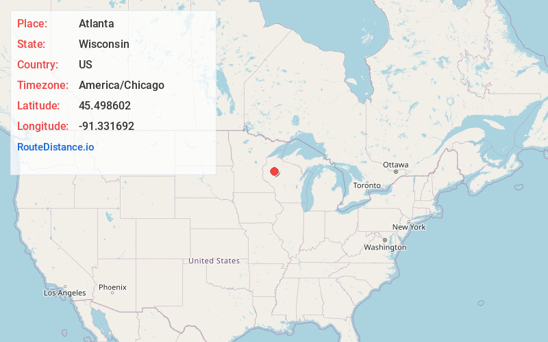
Full AddressAtlanta, WI
-
Coordinates45.4986015, -91.3316918
-
LocationAtlanta , Wisconsin , US
-
TimezoneAmerica/Chicago
-
Current Local Time9:08:01 PM America/ChicagoMonday, June 2, 2025
-
Page Views0
About Atlanta
Atlanta is a town in Rusk County, Wisconsin, United States. The population was 627 at the 2000 census. The unincorporated community of Imalone is located partially in the town.
Nearby Places
Found 10 places within 50 miles

Apollonia
3.5 mi
5.6 km
Apollonia, WI 54819
Get directions
Bruce
4.0 mi
6.4 km
Bruce, WI 54819
Get directions

Imalone
6.3 mi
10.1 km
Imalone, WI 54848
Get directions

Weyerhaeuser
6.4 mi
10.3 km
Weyerhaeuser, WI 54895
Get directions
Port Arthur
9.5 mi
15.3 km
Port Arthur, WI 54848
Get directions
Murry
9.5 mi
15.3 km
Murry, WI 54835
Get directions
Flambeau
9.5 mi
15.3 km
Flambeau, WI 54848
Get directions
Horseman
11.0 mi
17.7 km
Horseman, WI 54868
Get directions

Ladysmith
11.3 mi
18.2 km
Ladysmith, WI 54848
Get directions
Lehigh
11.3 mi
18.2 km
Lehigh, Sumner, WI 54868
Get directions
Location Links
Local Weather
Weather Information
Coming soon!
Location Map
Static map view of Atlanta, Wisconsin
Browse Places by Distance
Places within specific distances from Atlanta
Short Distances
Long Distances
Click any distance to see all places within that range from Atlanta. Distances shown in miles (1 mile ≈ 1.61 kilometers).