Distance to Attakapas Landing, Louisiana

Calculating Your Route
Just a moment while we process your request...
Location Information
-
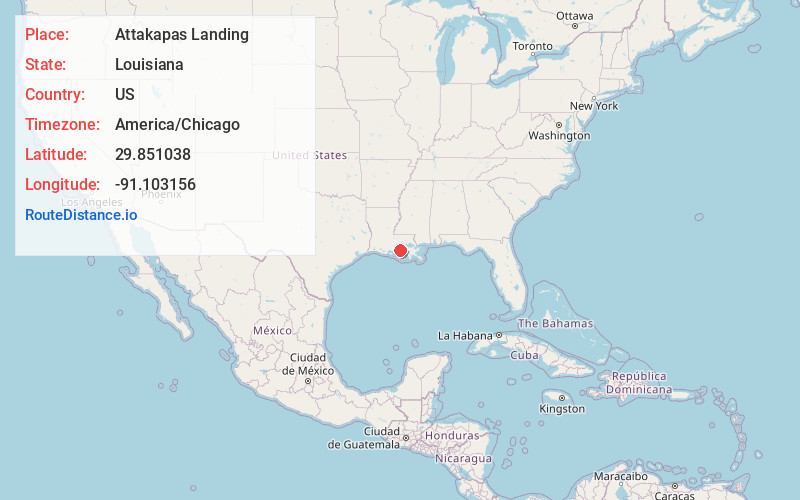
Full AddressAttakapas Landing, LA 70390
-
Coordinates29.8510376, -91.1031564
-
LocationAttakapas Landing , Louisiana , US
-
TimezoneAmerica/Chicago
-
Current Local Time5:28:35 PM America/ChicagoFriday, June 20, 2025
-
Page Views0
Nearby Places
Found 10 places within 50 miles

Upper Texas
1.5 mi
2.4 km
Upper Texas, LA 70390
Get directions
Bayou Geneve
2.4 mi
3.9 km
Bayou Geneve, LA 70390
Get directions
Attakapas Canal
2.9 mi
4.7 km
Attakapas Canal, LA 70390
Get directions
Dwight Fields
3.1 mi
5.0 km
Dwight Fields, LA 70390
Get directions
Wildwood
5.1 mi
8.2 km
Wildwood, LA 70390
Get directions
Percle
5.6 mi
9.0 km
Percle, Supreme, LA 70390
Get directions
Cancienne
5.8 mi
9.3 km
Cancienne, LA 70390
Get directions
Stephenville
6.3 mi
10.1 km
Stephenville, LA 70380
Get directions
Himalaya
6.3 mi
10.1 km
Himalaya, Supreme, LA 70390
Get directions
Belle River
6.7 mi
10.8 km
Belle River, LA 70339
Get directions
Location Links
Local Weather
Weather Information
Coming soon!
Location Map
Static map view of Attakapas Landing, Louisiana
Browse Places by Distance
Places within specific distances from Attakapas Landing
Short Distances
Long Distances
Click any distance to see all places within that range from Attakapas Landing. Distances shown in miles (1 mile ≈ 1.61 kilometers).