Distance to Au Sable, Michigan

Calculating Your Route
Just a moment while we process your request...
Location Information
-
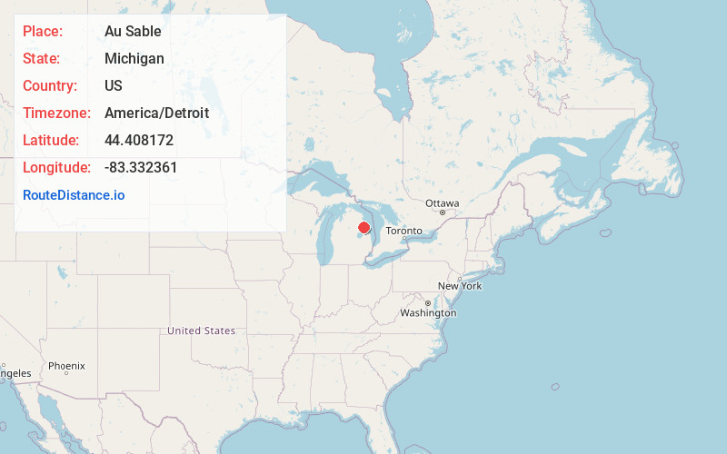
Full AddressAu Sable, MI 48750
-
Coordinates44.4081715, -83.3323611
-
LocationAu Sable , Michigan , US
-
TimezoneAmerica/Detroit
-
Current Local Time9:24:16 AM America/DetroitTuesday, May 20, 2025
-
Page Views0
About Au Sable
Au Sable is an unincorporated community and census-designated place in Iosco County, Michigan. The population of the CDP was 1,453 at the 2020 census. The community is located within Au Sable Township at the mouth of the Au Sable River along Lake Huron.
Nearby Places
Found 7 places within 50 miles

East Tawas
11.8 mi
19.0 km
East Tawas, MI 48730
Get directions

Tawas City
13.2 mi
21.2 km
Tawas City, MI 48763
Get directions

Skidway Lake
38.1 mi
61.3 km
Skidway Lake, MI
Get directions

Bad Axe
45.0 mi
72.4 km
Bad Axe, MI 48413
Get directions

Alpena
45.4 mi
73.1 km
Alpena, MI 49707
Get directions

West Branch
45.7 mi
73.5 km
West Branch, MI 48661
Get directions

Sebewaing
47.1 mi
75.8 km
Sebewaing, MI 48759
Get directions
Location Links
Local Weather
Weather Information
Coming soon!
Location Map
Static map view of Au Sable, Michigan
Browse Places by Distance
Places within specific distances from Au Sable
Short Distances
Long Distances
Click any distance to see all places within that range from Au Sable. Distances shown in miles (1 mile ≈ 1.61 kilometers).