Distance to Au Sable Forks, New York

Calculating Your Route
Just a moment while we process your request...
Location Information
-
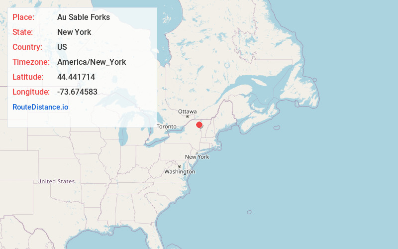
Full AddressAu Sable Forks, NY 12912
-
Coordinates44.441714, -73.6745834
-
LocationAu Sable Forks , New York , US
-
TimezoneAmerica/New_York
-
Current Local Time3:07:29 PM America/New_YorkMonday, June 23, 2025
-
Page Views0
About Au Sable Forks
Au Sable Forks is a hamlet in Clinton County and Essex County, New York, United States. The northern half of the community, within Clinton County, is listed as the Au Sable Forks census-designated place and had a population of 559 at the 2010 census.


Nearby Places
Found 10 places within 50 miles

Black Brook
3.5 mi
5.6 km
Black Brook, NY 12912
Get directions

Wilmington
7.9 mi
12.7 km
Wilmington, NY 12997
Get directions

Chesterfield
10.4 mi
16.7 km
Chesterfield, NY
Get directions

Keeseville
10.5 mi
16.9 km
Keeseville, NY 12944
Get directions

Schuyler Falls
14.1 mi
22.7 km
Schuyler Falls, NY 12985
Get directions

Saranac
14.9 mi
24.0 km
Saranac, NY 12981
Get directions

Willsboro
15.1 mi
24.3 km
Willsboro, NY 12996
Get directions

Elizabethtown
16.1 mi
25.9 km
Elizabethtown, NY 12932
Get directions

St Armand
17.7 mi
28.5 km
St Armand, NY
Get directions

Morrisonville
18.2 mi
29.3 km
Morrisonville, NY
Get directions
Location Links
Local Weather
Weather Information
Coming soon!
Location Map
Static map view of Au Sable Forks, New York
Browse Places by Distance
Places within specific distances from Au Sable Forks
Short Distances
Long Distances
Click any distance to see all places within that range from Au Sable Forks. Distances shown in miles (1 mile ≈ 1.61 kilometers).