Distance to Auburn, Massachusetts

Calculating Your Route
Just a moment while we process your request...
Location Information
-
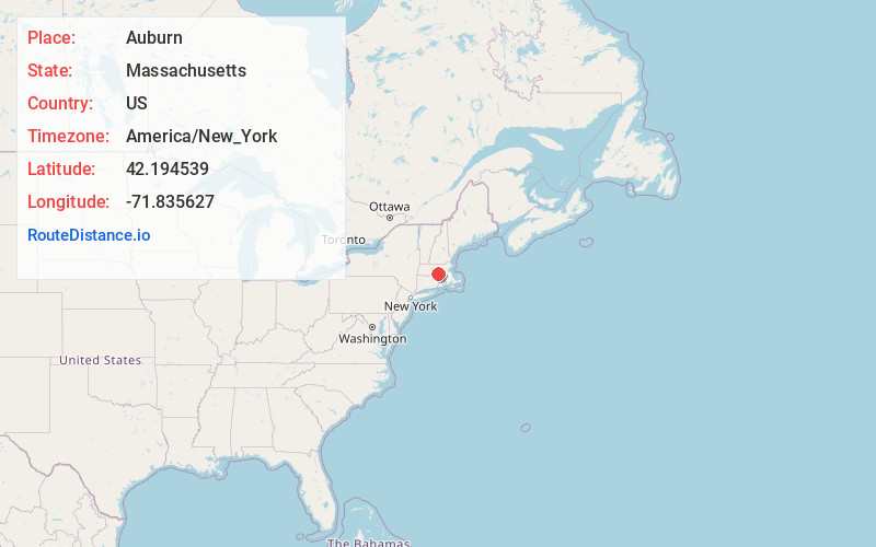
Full AddressAuburn, MA
-
Coordinates42.1945385, -71.8356271
-
LocationAuburn , Massachusetts , US
-
TimezoneAmerica/New_York
-
Current Local Time9:41:29 PM America/New_YorkTuesday, June 17, 2025
-
Website
-
Page Views0
About Auburn
Auburn is a town in Worcester County, Massachusetts, United States. The population was 16,889 at the 2020 census.


Nearby Places
Found 10 places within 50 miles

Worcester
5.0 mi
8.0 km
Worcester, MA
Get directions

Grafton
7.7 mi
12.4 km
Grafton, MA
Get directions

Shrewsbury
8.9 mi
14.3 km
Shrewsbury, MA
Get directions

Holden
11.0 mi
17.7 km
Holden, MA
Get directions

Westborough
12.5 mi
20.1 km
Westborough, MA
Get directions

Southbridge
13.1 mi
21.1 km
Southbridge, MA
Get directions

Hopkinton
16.2 mi
26.1 km
Hopkinton, MA 01748
Get directions

Milford
16.6 mi
26.7 km
Milford, MA 01757
Get directions

Marlborough
17.9 mi
28.8 km
Marlborough, MA
Get directions

Hudson
19.2 mi
30.9 km
Hudson, MA
Get directions
Location Links
Local Weather
Weather Information
Coming soon!
Location Map
Static map view of Auburn, Massachusetts
Browse Places by Distance
Places within specific distances from Auburn
Short Distances
Long Distances
Click any distance to see all places within that range from Auburn. Distances shown in miles (1 mile ≈ 1.61 kilometers).