Distance to Auburn, Washington

Calculating Your Route
Just a moment while we process your request...
Location Information
-
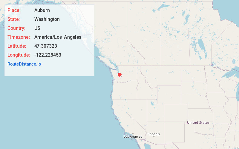
Full AddressAuburn, WA
-
Coordinates47.3073228, -122.2284532
-
LocationAuburn , Washington , US
-
TimezoneAmerica/Los_Angeles
-
Current Local Time10:44:11 AM America/Los_AngelesFriday, June 13, 2025
-
Website
-
Page Views0
About Auburn
Auburn is a city in King County, Washington, United States. The population was 87,256 at the 2020 Census. Auburn is a suburb in the Seattle metropolitan area, and is currently ranked as the 15th most populous city in the state of Washington.
The Muckleshoot Indian Reservation lies to the south and southeast.


Nearby Places
Found 8 places within 50 miles

Federal Way
4.1 mi
6.6 km
Federal Way, WA
Get directions

Kent
5.2 mi
8.4 km
Kent, WA
Get directions

Tacoma
10.6 mi
17.1 km
Tacoma, WA
Get directions

Bellevue
21.0 mi
33.8 km
Bellevue, WA
Get directions

Seattle
21.2 mi
34.1 km
Seattle, WA
Get directions

Kirkland
25.6 mi
41.2 km
Kirkland, WA
Get directions

Bremerton
25.8 mi
41.5 km
Bremerton, WA
Get directions

Olympia
36.2 mi
58.3 km
Olympia, WA
Get directions
Location Links
Local Weather
Weather Information
Coming soon!
Location Map
Static map view of Auburn, Washington
Browse Places by Distance
Places within specific distances from Auburn
Short Distances
Long Distances
Click any distance to see all places within that range from Auburn. Distances shown in miles (1 mile ≈ 1.61 kilometers).