Distance to Auburn, California

Calculating Your Route
Just a moment while we process your request...
Location Information
-
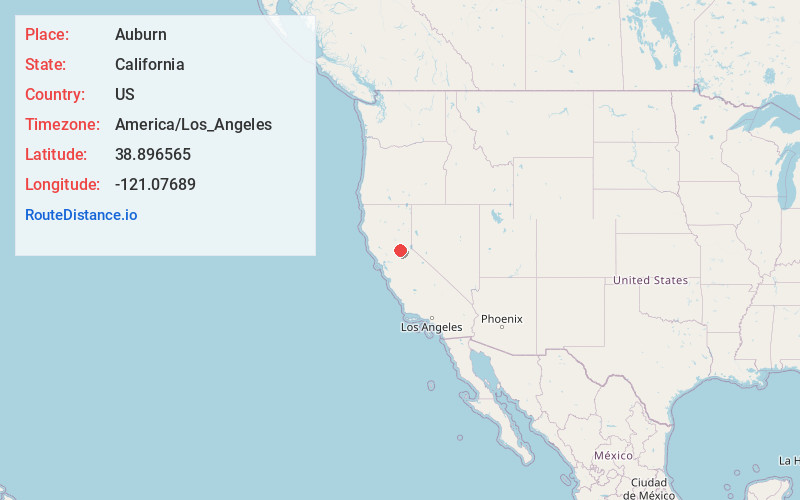
Full AddressAuburn, CA
-
Coordinates38.8965654, -121.0768901
-
LocationAuburn , California , US
-
TimezoneAmerica/Los_Angeles
-
Current Local Time6:11:12 PM America/Los_AngelesSunday, June 29, 2025
-
Website
-
Page Views0
About Auburn
Auburn is a city in and the county seat of Placer County, California, United States. Its population was 13,776 during the 2020 census. Auburn is known for its California Gold Rush history and is registered as a California Historical Landmark.
Auburn is part of the Sacramento metropolitan area.


Nearby Places
Found 10 places within 50 miles

North Auburn
2.2 mi
3.5 km
North Auburn, CA
Get directions

Rocklin
11.3 mi
18.2 km
Rocklin, CA
Get directions

Lincoln
11.6 mi
18.7 km
Lincoln, CA
Get directions

Roseville
15.1 mi
24.3 km
Roseville, CA
Get directions

Folsom
16.2 mi
26.1 km
Folsom, CA
Get directions

Cameron Park
16.5 mi
26.6 km
Cameron Park, CA
Get directions

Orangevale
17.1 mi
27.5 km
Orangevale, CA
Get directions

Citrus Heights
19.0 mi
30.6 km
Citrus Heights, CA
Get directions

Antelope
19.9 mi
32.0 km
Antelope, CA
Get directions

Fair Oaks
20.3 mi
32.7 km
Fair Oaks, CA
Get directions
Location Links
Local Weather
Weather Information
Coming soon!
Location Map
Static map view of Auburn, California
Browse Places by Distance
Places within specific distances from Auburn
Short Distances
Long Distances
Click any distance to see all places within that range from Auburn. Distances shown in miles (1 mile ≈ 1.61 kilometers).