Distance to Auburn, Missouri

Calculating Your Route
Just a moment while we process your request...
Location Information
-
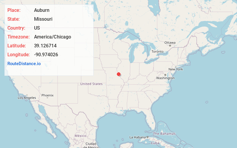
Full AddressAuburn, MO 63377
-
Coordinates39.1267137, -90.9740258
-
LocationAuburn , Missouri , US
-
TimezoneAmerica/Chicago
-
Current Local Time6:50:28 PM America/ChicagoSunday, June 22, 2025
-
Page Views0
About Auburn
Auburn is an unincorporated community in Lincoln County, in the U.S. state of Missouri.
Nearby Places
Found 10 places within 50 miles

Okete
3.1 mi
5.0 km
Okete, MO 63379
Get directions

Silex
4.3 mi
6.9 km
Silex, MO 63377
Get directions
Whiteside
4.7 mi
7.6 km
Whiteside, MO
Get directions

Eolia
7.8 mi
12.6 km
Eolia, MO 63344
Get directions

Cave
8.3 mi
13.4 km
Cave, MO 63379
Get directions

Troy
10.2 mi
16.4 km
Troy, MO
Get directions
Paynesville
10.2 mi
16.4 km
Paynesville, MO
Get directions

Elsberry
10.7 mi
17.2 km
Elsberry, MO 63343
Get directions

Annada
12.2 mi
19.6 km
Annada, MO 63330
Get directions
Oasis
12.5 mi
20.1 km
Oasis, Burr Oak Township, MO 63347
Get directions
Location Links
Local Weather
Weather Information
Coming soon!
Location Map
Static map view of Auburn, Missouri
Browse Places by Distance
Places within specific distances from Auburn
Short Distances
Long Distances
Click any distance to see all places within that range from Auburn. Distances shown in miles (1 mile ≈ 1.61 kilometers).