Distance to Auburn, Kentucky

Calculating Your Route
Just a moment while we process your request...
Location Information
-
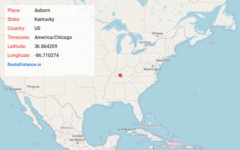
Full AddressAuburn, KY 42206
-
Coordinates36.8642088, -86.7102735
-
LocationAuburn , Kentucky , US
-
TimezoneAmerica/Chicago
-
Current Local Time12:47:08 AM America/ChicagoFriday, June 20, 2025
-
Website
-
Page Views1
About Auburn
Auburn is a home rule-class city in Logan County, Kentucky, in the United States. The population was 1,340 at the 2010 census.


Nearby Places
Found 10 places within 50 miles

Russellville
9.9 mi
15.9 km
Russellville, KY 42276
Get directions

Franklin
12.4 mi
20.0 km
Franklin, KY 42134
Get directions

Bowling Green
14.6 mi
23.5 km
Bowling Green, KY
Get directions

Cross Plains
21.8 mi
35.1 km
Cross Plains, TN
Get directions

Portland
22.4 mi
36.0 km
Portland, TN 37148
Get directions

Elkton
24.8 mi
39.9 km
Elkton, KY 42220
Get directions

Morgantown
25.0 mi
40.2 km
Morgantown, KY 42261
Get directions

Springfield
26.4 mi
42.5 km
Springfield, TN 37172
Get directions

White House
27.5 mi
44.3 km
White House, TN
Get directions

Scottsville
29.8 mi
48.0 km
Scottsville, KY 42164
Get directions
Location Links
Local Weather
Weather Information
Coming soon!
Location Map
Static map view of Auburn, Kentucky
Browse Places by Distance
Places within specific distances from Auburn
Short Distances
Long Distances
Click any distance to see all places within that range from Auburn. Distances shown in miles (1 mile ≈ 1.61 kilometers).