Distance to Auburndale, Wisconsin

Calculating Your Route
Just a moment while we process your request...
Location Information
-
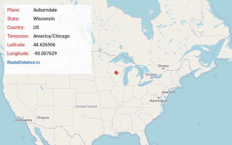
Full AddressAuburndale, WI 54412
-
Coordinates44.6269064, -90.0076294
-
LocationAuburndale , Wisconsin , US
-
TimezoneAmerica/Chicago
-
Current Local Time11:06:57 PM America/ChicagoSunday, June 1, 2025
-
Website
-
Page Views0
About Auburndale
Auburndale is a village in Wood County, Wisconsin, United States. The population was 702 at the 2020 census.
Nearby Places
Found 10 places within 50 miles

Marshfield
8.6 mi
13.8 km
Marshfield, WI
Get directions

Stratford
12.5 mi
20.1 km
Stratford, WI 54484
Get directions

Spencer
16.8 mi
27.0 km
Spencer, WI
Get directions

Mosinee
18.8 mi
30.3 km
Mosinee, WI 54455
Get directions

Wisconsin Rapids
19.3 mi
31.1 km
Wisconsin Rapids, WI
Get directions

Port Edwards
20.3 mi
32.7 km
Port Edwards, WI
Get directions

Edgar
20.9 mi
33.6 km
Edgar, WI 54426
Get directions

Lake Wazeecha
21.6 mi
34.8 km
Lake Wazeecha, WI 54494
Get directions

Nekoosa
22.3 mi
35.9 km
Nekoosa, WI 54457
Get directions

Stevens Point
22.5 mi
36.2 km
Stevens Point, WI
Get directions
Location Links
Local Weather
Weather Information
Coming soon!
Location Map
Static map view of Auburndale, Wisconsin
Browse Places by Distance
Places within specific distances from Auburndale
Short Distances
Long Distances
Click any distance to see all places within that range from Auburndale. Distances shown in miles (1 mile ≈ 1.61 kilometers).