Distance to Aurora, Minnesota

Calculating Your Route
Just a moment while we process your request...
Location Information
-
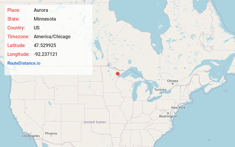
Full AddressAurora, MN
-
Coordinates47.5299252, -92.2371208
-
LocationAurora , Minnesota , US
-
TimezoneAmerica/Chicago
-
Current Local Time6:36:02 PM America/ChicagoSaturday, May 31, 2025
-
Website
-
Page Views0
About Aurora
Aurora is a city in Saint Louis County, Minnesota, United States. The population was 1,678 at the 2020 census.
Saint Louis County Highways 100 and 110 and Minnesota State Highway 135 are three of the main routes in Aurora.


Nearby Places
Found 10 places within 50 miles

Hoyt Lakes
4.7 mi
7.6 km
Hoyt Lakes, MN
Get directions

Gilbert
11.0 mi
17.7 km
Gilbert, MN
Get directions

Virginia
14.0 mi
22.5 km
Virginia, MN
Get directions

Eveleth
14.9 mi
24.0 km
Eveleth, MN 55734
Get directions

Mountain Iron
18.0 mi
29.0 km
Mountain Iron, MN
Get directions

Chisholm
30.3 mi
48.8 km
Chisholm, MN 55719
Get directions

Ely
31.0 mi
49.9 km
Ely, MN 55731
Get directions

Hibbing
33.5 mi
53.9 km
Hibbing, MN
Get directions

Two Harbors
44.0 mi
70.8 km
Two Harbors, MN 55616
Get directions

Hermantown
50.0 mi
80.5 km
Hermantown, MN
Get directions
Location Links
Local Weather
Weather Information
Coming soon!
Location Map
Static map view of Aurora, Minnesota
Browse Places by Distance
Places within specific distances from Aurora
Short Distances
Long Distances
Click any distance to see all places within that range from Aurora. Distances shown in miles (1 mile ≈ 1.61 kilometers).