Distance to Avalon, Missouri

Calculating Your Route
Just a moment while we process your request...
Location Information
-
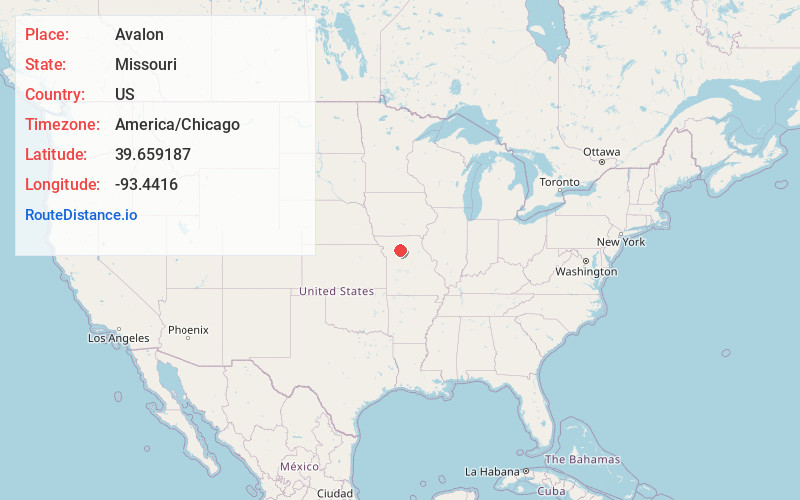
Full AddressAvalon, MO
-
Coordinates39.659187, -93.4416002
-
LocationAvalon , Missouri , US
-
TimezoneAmerica/Chicago
-
Current Local Time4:36:44 PM America/ChicagoTuesday, May 20, 2025
-
Page Views0
About Avalon
Avalon is an unincorporated community and census-designated place in southern Livingston County, Missouri, United States. It is located on Missouri Route H, approximately one mile east of U.S. Route 65 and ten miles southeast of Chillicothe.
Avalon was platted in 1869.
Nearby Places
Found 10 places within 50 miles

Hale
6.5 mi
10.5 km
Hale, MO 64643
Get directions

Tina
8.5 mi
13.7 km
Tina, MO 64682
Get directions
Wheeling
9.3 mi
15.0 km
Wheeling, MO 64688
Get directions
Dawn
10.3 mi
16.6 km
Dawn, MO 64638
Get directions

Sumner
10.5 mi
16.9 km
Sumner, MO 64681
Get directions

Chillicothe
11.1 mi
17.9 km
Chillicothe, MO 64601
Get directions
Meadville
11.4 mi
18.3 km
Meadville, MO 64659
Get directions
Utica
11.4 mi
18.3 km
Utica, MO
Get directions
Ludlow
13.9 mi
22.4 km
Ludlow, MO 64656
Get directions
Bosworth
14.3 mi
23.0 km
Bosworth, MO 64623
Get directions
Location Links
Local Weather
Weather Information
Coming soon!
Location Map
Static map view of Avalon, Missouri
Browse Places by Distance
Places within specific distances from Avalon
Short Distances
Long Distances
Click any distance to see all places within that range from Avalon. Distances shown in miles (1 mile ≈ 1.61 kilometers).