Distance to Avery, Texas

Calculating Your Route
Just a moment while we process your request...
Location Information
-
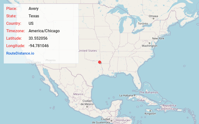
Full AddressAvery, TX 75554
-
Coordinates33.5520559, -94.7810463
-
LocationAvery , Texas , US
-
TimezoneAmerica/Chicago
-
Current Local Time8:51:29 PM America/ChicagoThursday, June 19, 2025
-
Page Views0
About Avery
Avery is a town in Red River County, in the U.S. state of Texas. The population was 421 at the 2020 census. From the 1920s through the early 1960s Avery was one of the largest tomato producing and shipping cities in northeastern Texas.
Nearby Places
Found 10 places within 50 miles

De Kalb
9.9 mi
15.9 km
De Kalb, TX 75559
Get directions

Clarksville
16.2 mi
26.1 km
Clarksville, TX 75426
Get directions

New Boston
22.0 mi
35.4 km
New Boston, TX 75570
Get directions

Idabel
23.9 mi
38.5 km
Idabel, OK 74745
Get directions

Naples
24.8 mi
39.9 km
Naples, TX 75568
Get directions

Foreman
25.3 mi
40.7 km
Foreman, AR 71836
Get directions

Bogata
25.6 mi
41.2 km
Bogata, TX 75417
Get directions

Omaha
25.8 mi
41.5 km
Omaha, TX 75571
Get directions

Hooks
29.0 mi
46.7 km
Hooks, TX 75561
Get directions

Mt Pleasant
29.4 mi
47.3 km
Mt Pleasant, TX
Get directions
Location Links
Local Weather
Weather Information
Coming soon!
Location Map
Static map view of Avery, Texas
Browse Places by Distance
Places within specific distances from Avery
Short Distances
Long Distances
Click any distance to see all places within that range from Avery. Distances shown in miles (1 mile ≈ 1.61 kilometers).