Distance to Avery Estates, Louisiana

Calculating Your Route
Just a moment while we process your request...
Location Information
-
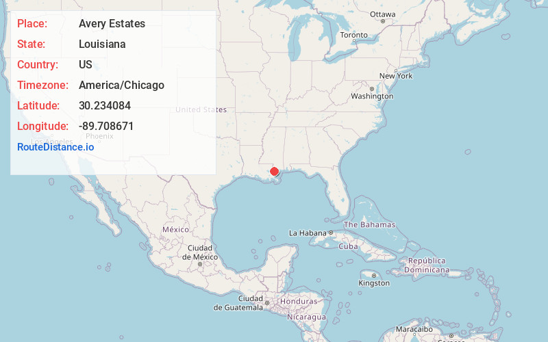
Full AddressAvery Estates, LA 70461
-
Coordinates30.234084, -89.7086709
-
LocationAvery Estates , Louisiana , US
-
TimezoneAmerica/Chicago
-
Current Local Time7:50:09 AM America/ChicagoMonday, June 2, 2025
-
Page Views1
Nearby Places
Found 10 places within 50 miles

McClane City
4.0 mi
6.4 km
McClane City, Slidell, LA 70458
Get directions
Tanglewood Village
5.0 mi
8.0 km
Tanglewood Village, Slidell, LA 70458
Get directions
Howze Beach
5.1 mi
8.2 km
Howze Beach, LA
Get directions

Slidell
5.2 mi
8.4 km
Slidell, LA
Get directions

Eden Isle
5.4 mi
8.7 km
Eden Isle, LA 70458
Get directions

Pearlington
5.9 mi
9.5 km
Pearlington, MS 39572
Get directions
Logtown
6.2 mi
10.0 km
Logtown, Pearlington, MS 39572
Get directions
Morgan Bluff
6.5 mi
10.5 km
Morgan Bluff, LA 70461
Get directions
Alton
7.4 mi
11.9 km
Alton, LA 70452
Get directions
Napoleon
8.0 mi
12.9 km
Napoleon, MS 39572
Get directions
Location Links
Local Weather
Weather Information
Coming soon!
Location Map
Static map view of Avery Estates, Louisiana
Browse Places by Distance
Places within specific distances from Avery Estates
Short Distances
Long Distances
Click any distance to see all places within that range from Avery Estates. Distances shown in miles (1 mile ≈ 1.61 kilometers).