Distance to Avoca, Texas

Calculating Your Route
Just a moment while we process your request...
Location Information
-
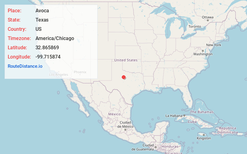
Full AddressAvoca, TX 79503
-
Coordinates32.865869, -99.7158741
-
LocationAvoca , Texas , US
-
TimezoneAmerica/Chicago
-
Current Local Time5:37:55 PM America/ChicagoTuesday, June 3, 2025
-
Page Views0
About Avoca
Avoca is an unincorporated community in Jones County, Texas, United States.
It is on State Highway 6 at the intersection of Farm to Market Road 600 and Farm to Market Road 1636, 8 mi southeast of Stamford. Avoca is part of the Abilene, Texas, metropolitan statistical area.
Nearby Places
Found 10 places within 50 miles

Lueders
7.2 mi
11.6 km
Lueders, TX 79533
Get directions

Stamford
7.5 mi
12.1 km
Stamford, TX
Get directions

Jones County
8.0 mi
12.9 km
Jones County, TX
Get directions

Funston
9.3 mi
15.0 km
Funston, TX 79501
Get directions

Anson
12.9 mi
20.8 km
Anson, TX 79501
Get directions
Tuxedo
14.4 mi
23.2 km
Tuxedo, TX 79553
Get directions
Radium
16.4 mi
26.4 km
Radium, TX 79520
Get directions

Hawley
18.5 mi
29.8 km
Hawley, TX
Get directions
Pastura
18.8 mi
30.3 km
Pastura, TX 79553
Get directions
Truby
19.5 mi
31.4 km
Truby, TX 79501
Get directions
Location Links
Local Weather
Weather Information
Coming soon!
Location Map
Static map view of Avoca, Texas
Browse Places by Distance
Places within specific distances from Avoca
Short Distances
Long Distances
Click any distance to see all places within that range from Avoca. Distances shown in miles (1 mile ≈ 1.61 kilometers).